The Yazoo–Mississippi Delta: its catfish industry, its levees, its flat country and its music.

Section 3 of 5

A plain, not a delta

Alluvium, loess bluffs, and the rivers that made it.

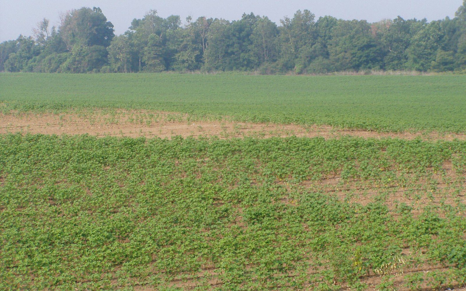
Rows of young crop seedlings growing in a farm field with a tree line beyond

The name is geologically wrong

The Yazoo–Mississippi Delta is an alluvial floodplain between two rivers, not a river delta, and the distinction explains its soil.

Flat Country
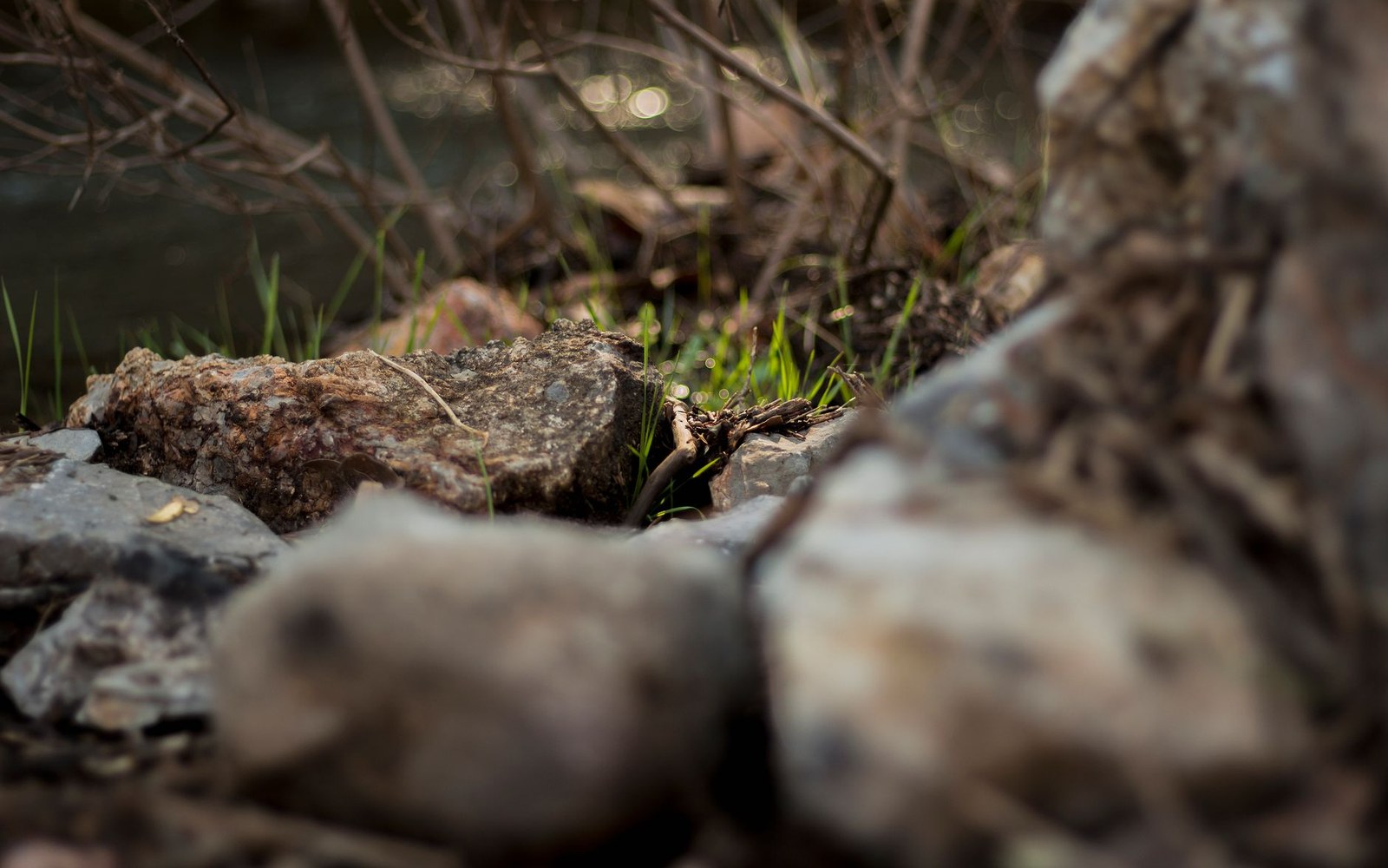
Rocks and dry twigs surround new grass sprouting near a stream bank

Silt deposited by repeated flooding

Centuries of overbank deposition built deep fine-grained soils, which is why the land was worth clearing and levee-ing in the first place.

Flat Country
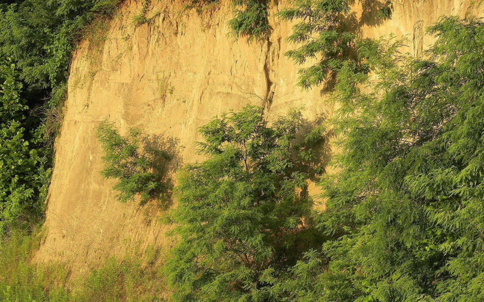
Steep sandy bluff with exposed eroded soil partly covered by green trees and shrubs

The eastern edge is windblown

The bluffs at Vicksburg are loess — windblown silt — and they mark the hard eastern boundary of the flat country.

Flat Country
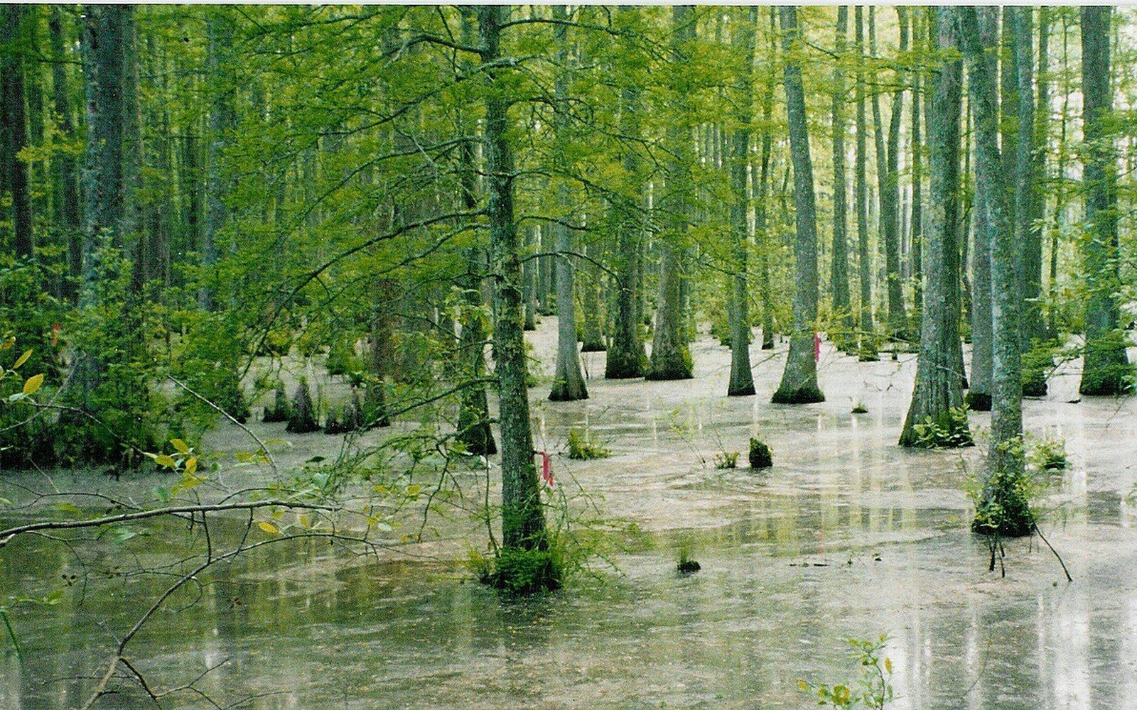
Flooded bottomland forest with tree trunks rising from standing water

Bottomland forest became farmland

The plain was hardwood bottomland before it was cleared, and the remaining fragments are what conservation programmes now work with.

Flat Country

Everything in this section

  • The name is geologically wrongThe Yazoo–Mississippi Delta is an alluvial floodplain between two rivers, not a river delta, and the distinction explains its soil.
  • Silt deposited by repeated floodingCenturies of overbank deposition built deep fine-grained soils, which is why the land was worth clearing and levee-ing in the first place.
  • The eastern edge is windblownThe bluffs at Vicksburg are loess — windblown silt — and they mark the hard eastern boundary of the flat country.
  • Bottomland forest became farmlandThe plain was hardwood bottomland before it was cleared, and the remaining fragments are what conservation programmes now work with.