Overbank deposition built the Delta's soils — and determined everything that came after
The mechanics of a floodplain
The Yazoo–Mississippi Delta is not a delta in any geological sense. It is an alluvial plain: a flat-bottomed trough between the Mississippi River to the west and the loess bluffs to the east, built over thousands of years by a river that flooded, spread, slowed, and dropped whatever it was carrying. Every time the Mississippi overtopped or broke through its natural banks — a process called overbank deposition — it shed a thin skin of suspended material across the land. Fine silt and clay settled farthest from the channel, where water moved slowest. Sand stayed close to the bank, building the low ridges called natural levees. Repeat this cycle across ten thousand years and you accumulate a deep, remarkably uniform sheet of alluvium.
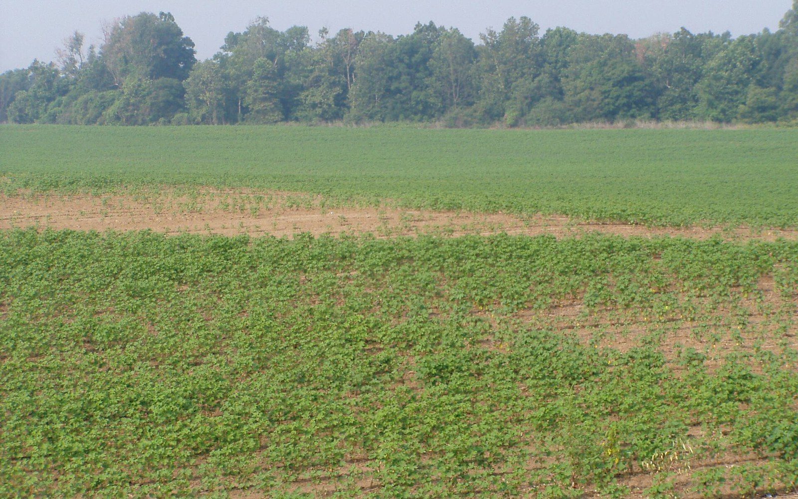
The plain runs roughly two hundred miles from Memphis south to Vicksburg and averages about fifty miles wide. It slopes barely two inches per mile toward the south. That near-perfect flatness is itself a product of deposition: flood after flood averaged out the irregularities. The geology underpinning the plain is among the most productive agricultural substrates in North America, precisely because it was built by moving water carrying the ground-up rock of half a continent.
What the silt made possible
The soils that overbank deposition built are classified largely as Sharkey clay and Alligator clay in the heavier interior, and Commerce and Dundee soils on the old natural levee ridges. They are dense, poorly drained in their natural state, and extraordinarily fertile — high in organic matter, high in the fine mineral particles that hold nutrients against root systems. This is why, once the bottomland hardwood forest was cleared in the late nineteenth and early twentieth centuries, the Delta could grow cotton at yields that justified the enormous capital cost of clearing and draining.
The drainage problem was the other face of the same geology. Clay-heavy soils that flooded for millennia do not shed water quickly. The Yazoo River and its tributaries — the Sunflower River among them — run sluggishly across the plain, incapable on their own of moving the water off fast enough for row-crop agriculture. The solution was an engineered system of ditches, pumps, and levees that essentially imposed artificial drainage on soils that had been built by the opposite process. You could not have the fertility without accepting, and then fighting, the flooding that created it.
That tension drove federal investment. The US Army Corps of Engineers ↗ and the Mississippi River Commission spent the better part of a century raising and standardising the main-stem levees precisely because so much had been invested in those soils. The 1927 flood — the largest recorded inundation of the lower Mississippi Valley — demonstrated catastrophically what happened when the system failed, and the Flood Control Act of 1928 that followed committed the federal government to a control infrastructure scaled to the threat.
Read next
- Sharkey clay
- heavy interior soils, clay-dominant, poorly drained naturally
- Alligator clay
- similar heavy interior type
- Commerce and Dundee soils
- lighter soils on old natural levee ridges
Soil as economic motive
Understanding the silt is understanding the decisions. Planters and railroad companies — the Illinois Central among them — invested in clearing bottomland hardwood forest because the alluvial soils underneath were worth having. Sharecropping and the furnish system were labour arrangements imposed on land whose agricultural value rested entirely on what the river had deposited. The same soils that made cotton viable made the catfish pond viable a century later: levee ponds in Humphreys County and across the Delta rest on impermeable clay-based alluvium that holds water without costly liners, and the agricultural history of Belzoni and surrounding towns runs in a direct line from the geology.
USDA soil surveys of the Delta counties ↗ document what millennia of flooding built: profiles often exceeding five feet of fine-grained alluvial material, with clay content that determines drainage characteristics, pond suitability, and crop performance in the same stroke. The flatness that looks accidental is in fact accumulated work — the river's own, done slowly, before anyone thought to level or drain it.
The Delta was worth fighting over, politically and economically, because the river had already done the foundational work. Everything since — the levees, the ditches, the plantations, the ponds — is an argument with the deposit.
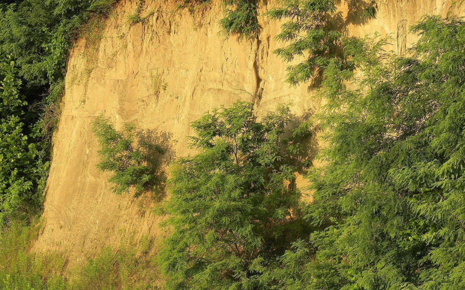
The solution was an engineered system of ditches, pumps, and levees that essentially imposed artificial drainage on soils that had been built by the opposite process.
Elsewhere in Flat Country

A short catalogue and a long argument
Robert Johnson recorded 29 songs in 1936 and 1937, and almost everything else attached to his name is later invention.
Off Dockery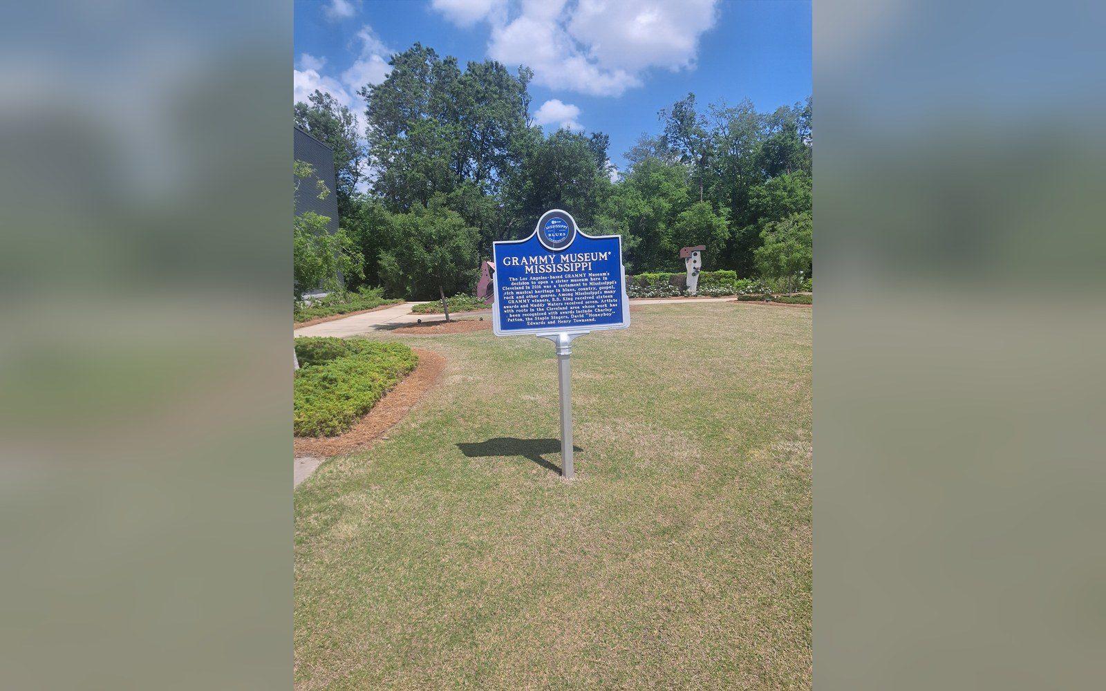
Markers that fix the geography
The Mississippi Blues Trail places documented markers at specific sites, which turns an oral history into a map.
Off Dockery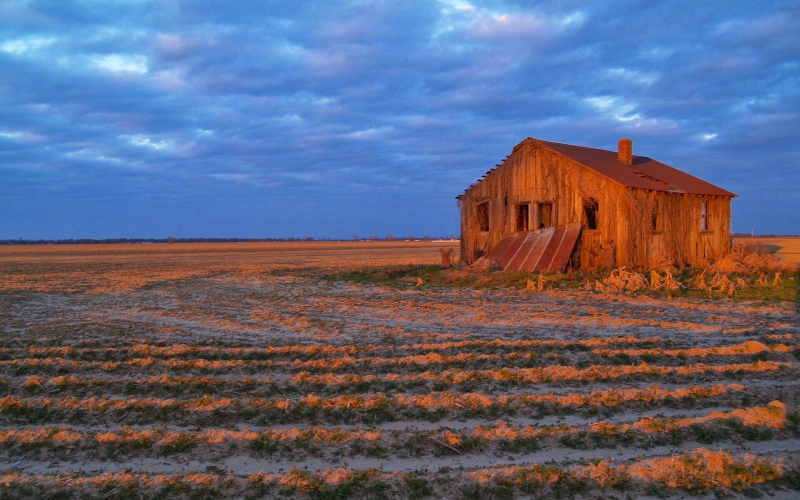
An arrangement that kept people in place
Sharecropping and the furnish system tied labour to the land through debt, and the accounting is documented in plantation ledgers.
Shares and Trains