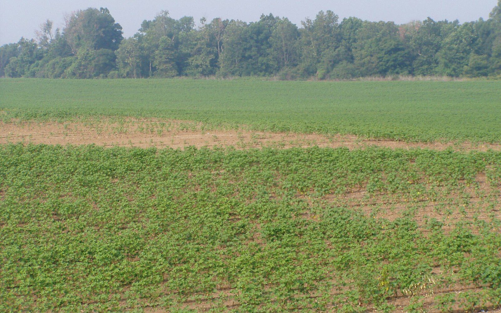
The Yazoo–Mississippi Delta is not a delta. The word arrived by habit or by loose analogy and it stuck, but the landform it names is something different: an alluvial plain, a wide flat pocket of accumulated river sediment lying between two rivers rather than at the mouth of one. Understanding that distinction is not pedantry. It explains the soil, the drainage problem, the flood vulnerability, and ultimately why anyone farmed here at all.
A river delta, in the geologic sense, forms where a river slows as it meets standing water — a sea, a lake, a bay — and drops its sediment load in a spreading fan. The Mississippi has one of those, far to the south, where the river braids and splays into the Gulf of Mexico. What lies between Vicksburg and Memphis is something else entirely: an elongated trough, roughly 200 miles long and 80 miles wide at its broadest, pinched between the Mississippi's main channel on the west and a line of loess bluffs on the east. The Yazoo River, running roughly parallel to the Mississippi for much of its length before finally joining it near Vicksburg, drains the eastern side of this trough. Neither river created the plain in the way a delta is created. They filled it, season after season, over an immense span of time.
How the plain was built, and what that left
The mechanism is overbank deposition. When the Mississippi rose above its banks — which it did regularly and dramatically before the modern levee system constrained it — it spread across the adjacent lowlands and slowed. Slowing water drops what it is carrying, coarsest first, finest last. The heaviest material fell near the channel, building natural levees that ran alongside the river. Finer silts and clays settled further out across the plain, accumulating in layers over thousands of years of seasonal flood cycles. The result is an extraordinarily deep fine-grained soil — in places the alluvium runs to dozens of feet before anything harder is reached — with a fertility that the plantation economy of the nineteenth century depended on entirely.
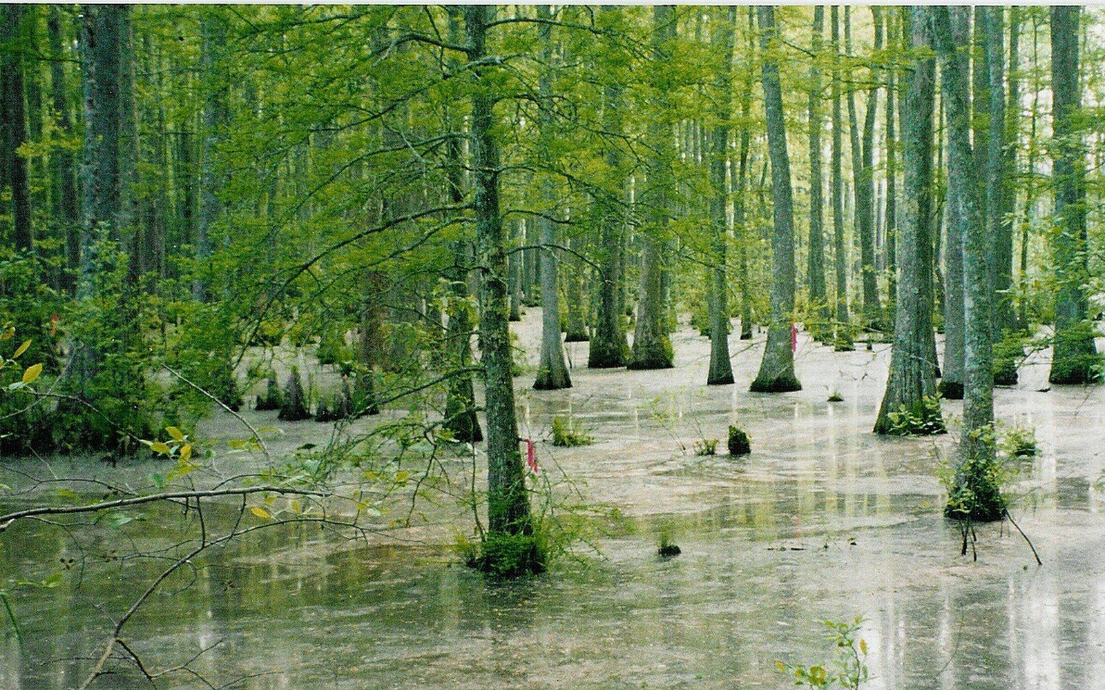
That same mechanism produced the Delta's signature difficulty: the land is almost perfectly flat, it sits low, and it drains poorly. Water that arrives does not leave quickly. The natural slope across the full width of the plain amounts to only a few feet. Before clearing, this was bottomland hardwood forest — cypress, tupelo, oak — adapted to periodic inundation. After clearing, it was cotton country that flooded catastrophically every time the Mississippi or the Yazoo rose beyond what the soil and the modest local channels could absorb. The levees built to protect it were always a negotiation with a river that wanted to move, and when those levees failed in 1927, the plain's fundamental vulnerability was exposed for the last time before federal money arrived to address it at scale.
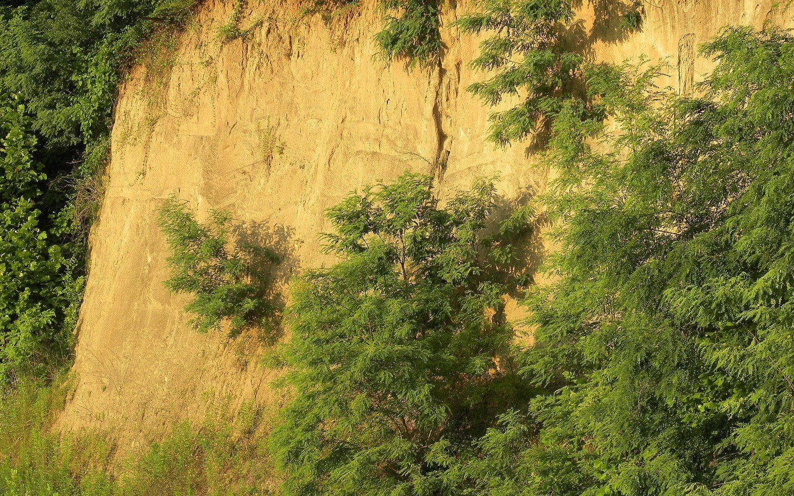
The loess bluffs at Vicksburg mark the eastern boundary of the plain with geological clarity. Loess is windblown silt — different in origin and character from the alluvial soils of the plain proper — and it forms a distinct ridge that the plain runs up against. This boundary is visible in the landscape and in the maps. The bluffs were where towns could be built above flood level. The plain itself was where the work was done, and where the people doing the work had almost no margin against a rising river.
Read next
- Plain length
- roughly 200 miles, Vicksburg to Memphis
- Plain width
- up to roughly 80 miles at its broadest
- Alluvial depth
- dozens of feet in places before harder substrate is reached
- Gradient
- only a few feet of drop across the full width of the plain, producing chronic drainage difficulty
The name's grip, and what it means in practice
The word "delta" was in use for this region by the nineteenth century, and the Mississippi River Commission, established in 1879 to manage the river's flood behavior, was dealing with the plain under that name from its founding. The name has never been corrected because it functions well enough as a regional designator, and because regional names resist correction even when geologists point out the problem. The Yazoo–Mississippi Delta appears on USGS topographic surveys ↗ as the recognisable flat expanse it is, regardless of what it is called.
What the misnomer does obscure is the role of the Yazoo itself. In a true delta, a single river is the protagonist. Here, the Yazoo runs the length of the plain's eastern side, collecting drainage from the Sunflower River and dozens of smaller tributaries before reaching the Mississippi near Vicksburg. The Yazoo and its tributaries are the Delta's internal drainage network, and their capacity — or incapacity — determines whether the plain floods from within when the Mississippi is running high enough to back water up into the Yazoo's mouth. This backwater effect is one of the plain's persistent hydrological complications, and it is invisible in the name.
The alluvial soil is the reason every industry the Delta has ever supported landed here. Cotton required deep, fertile, well-drained-but-moist ground, and the overbank deposits provided it in abundance once the forest was cleared. When cotton's dominance collapsed and land use diversified in the second half of the twentieth century, the same deep, water-retaining alluvial clay that flooded fields so readily turned out to be ideal for impounding water in the levee ponds used for farm-raised channel catfish. The pond floors are essentially the same material that the Mississippi deposited during centuries of overbank flooding. The catfish industry did not import a new landscape; it redirected an old one.
The soil is also why the Delta produced the blues rather than, say, the Piedmont or the hills to the east. Soil fertility determined where the plantations concentrated, and plantation concentration determined where the population was densest and most constrained. The sharecropping system, the furnish arrangements, the labor immobility — all of it was a human structure built on a specific substrate. Take away the alluvial plain and you take away the conditions that produced Dockery Farms, the Sunflower River bottomlands, the Clarksdale juke joints, and the recorded work of Charley Patton and the musicians who followed him.
The Delta is a word that survived its own incorrectness because the ground it names is real and distinctive enough to hold the name in place. An alluvial plain between two rivers, built by millennia of flood sediment, flat almost beyond imagining, rich and drainable only with enormous effort — that is what the name points at. The geology is wrong. The place is not.
The plain itself was where the work was done, and where the people doing the work had almost no margin against a rising river.
Elsewhere in Flat Country
A short catalogue and a long argument
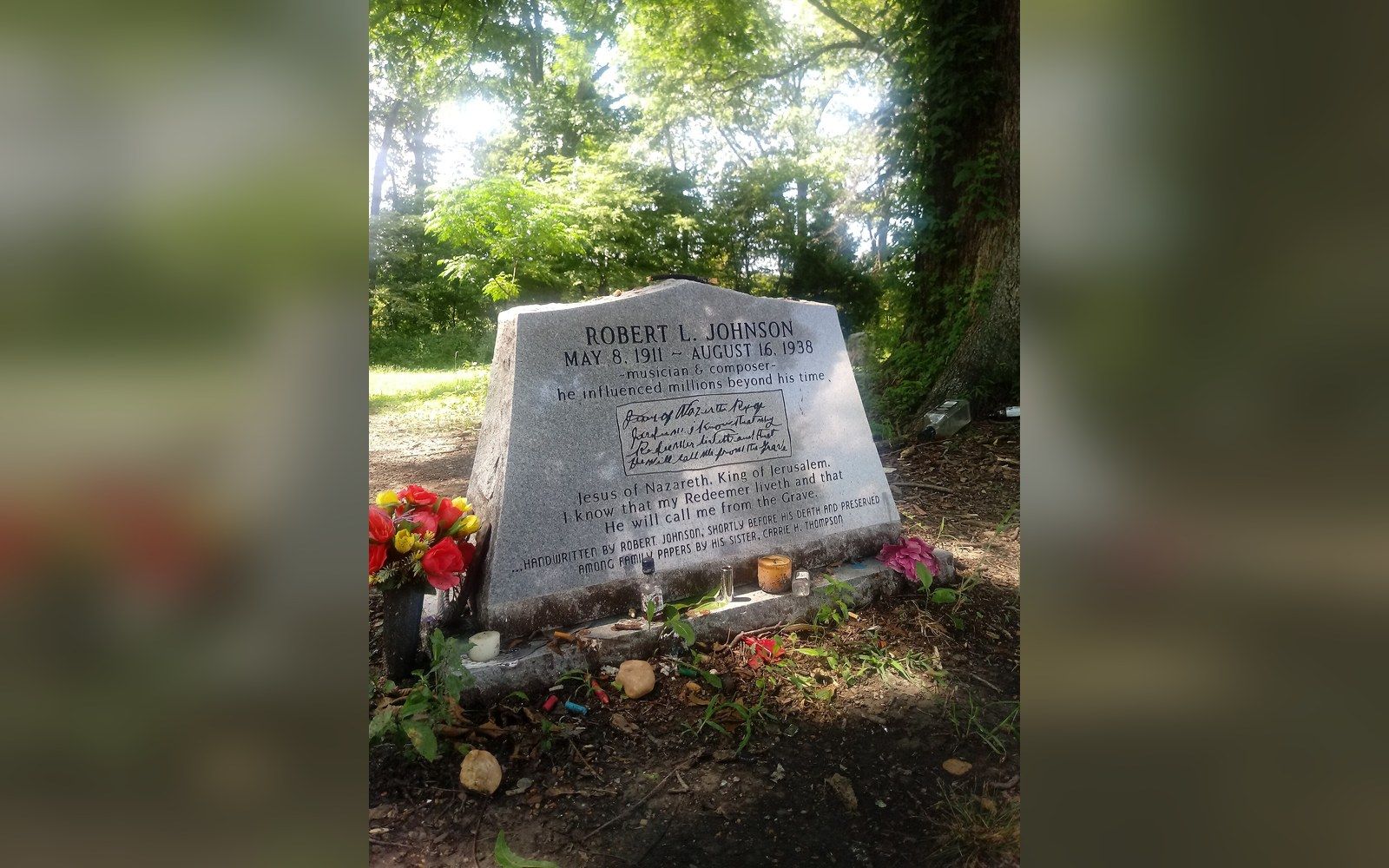
Robert Johnson recorded 29 songs in 1936 and 1937, and almost everything else attached to his name is later invention.
Off Dockery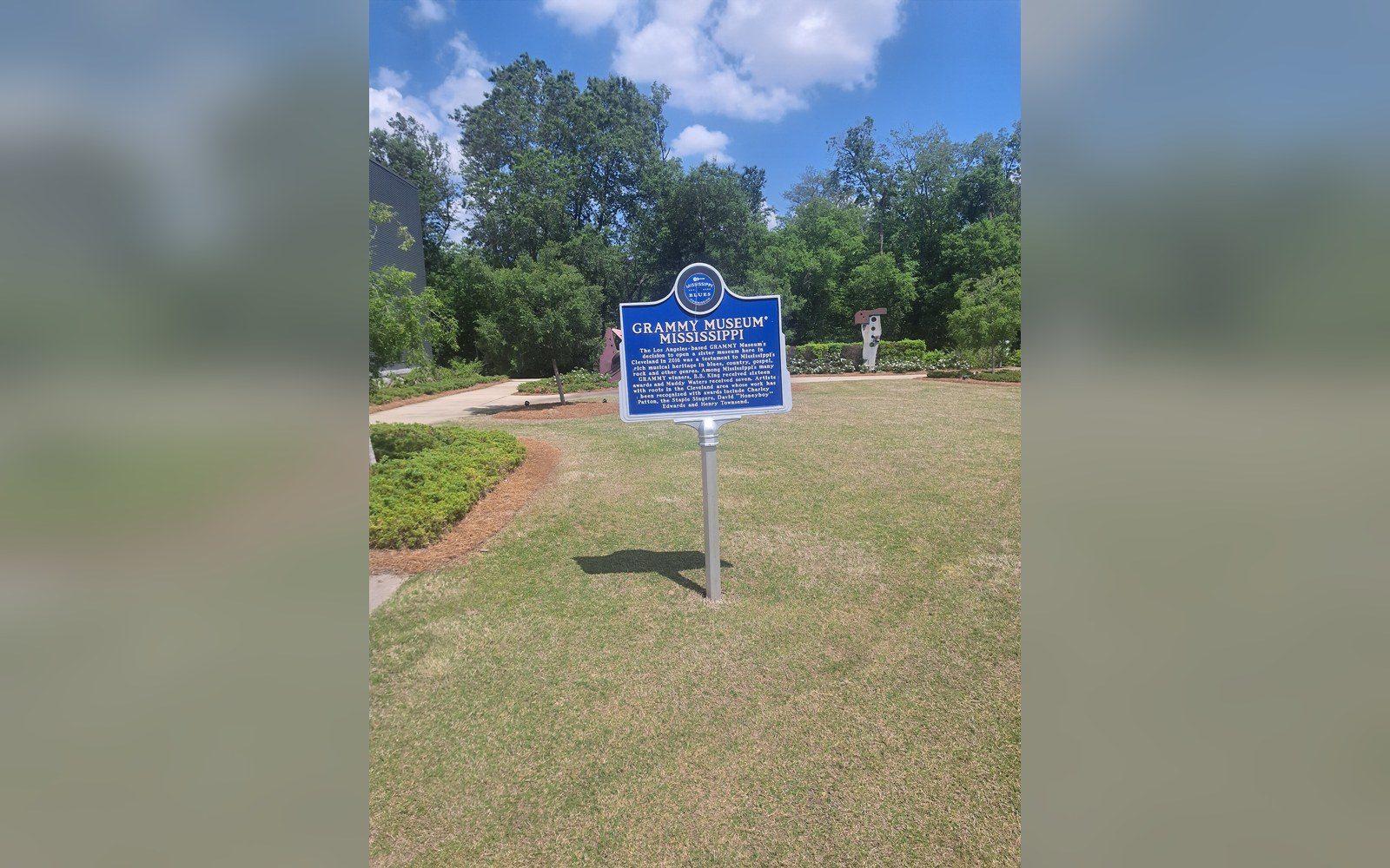
Markers that fix the geography
The Mississippi Blues Trail places documented markers at specific sites, which turns an oral history into a map.
Off Dockery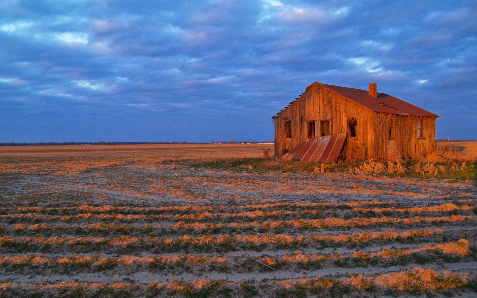
An arrangement that kept people in place
Sharecropping and the furnish system tied labour to the land through debt, and the accounting is documented in plantation ledgers.
Shares and Trains