The pond is the infrastructure
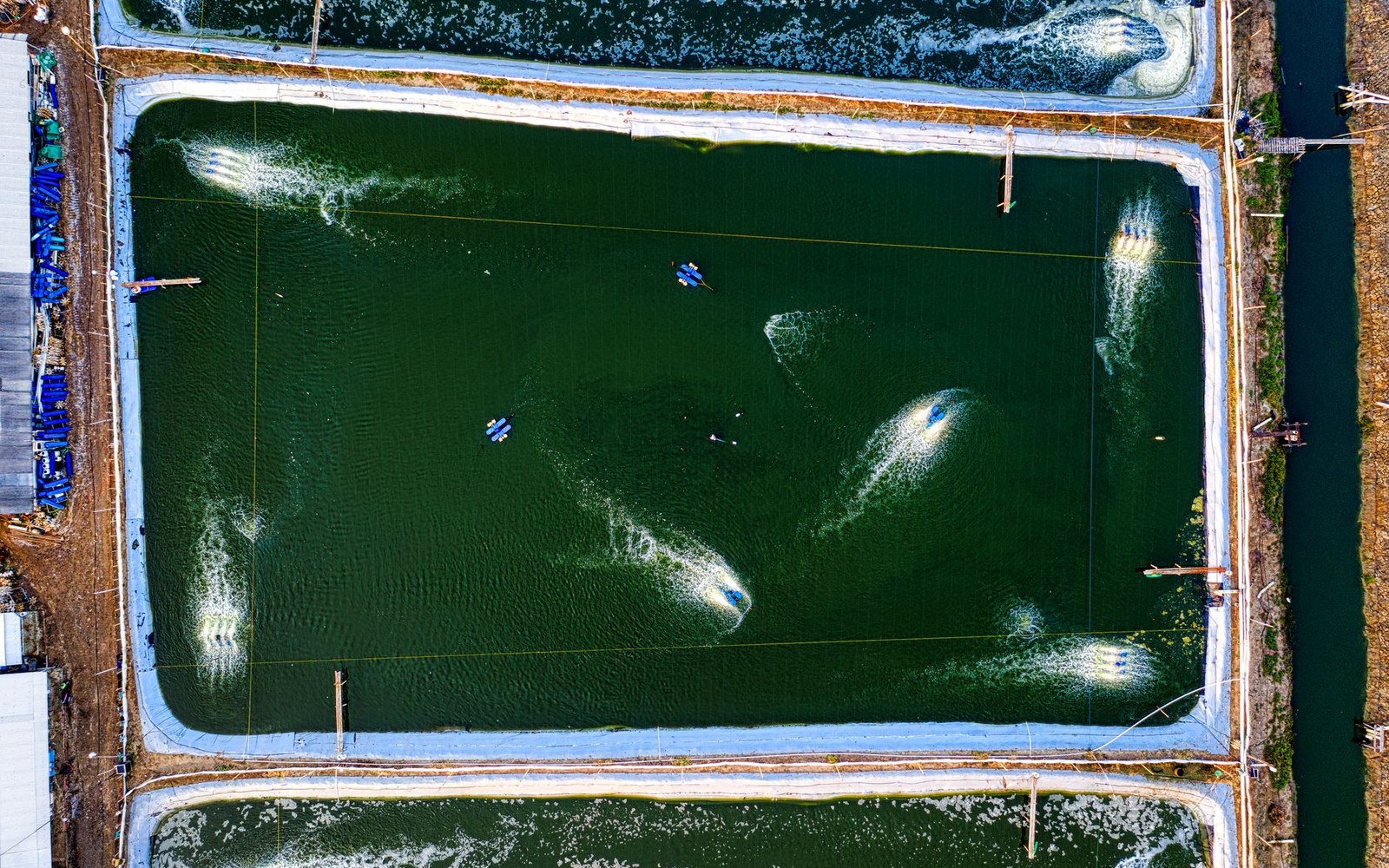
A catfish pond in the Yazoo–Mississippi Delta does not look like the ponds of other landscapes. It is not a dug hole. It is not a lake remnant or a natural bowl. It is a rectangle — sometimes a long, thin one, sometimes something closer to square — built on ground that was, until a few decades ago, growing cotton or soybeans, and its walls are low earthen levees compacted from the same alluvial soil that makes the plain remarkable for agriculture in the first place.
The logic follows the topography. The Delta is among the flattest large surfaces in North America: a former floodplain where centuries of overbank deposition laid down fine silt and clay to depths that can exceed thirty feet. There is almost no natural relief. A pond elsewhere might be shaped by the land; here, the land offers nothing to work with, so the farmer builds up rather than digging down. The levee walls around a commercial pond typically stand four to six feet above the surrounding grade — low enough that the embankment materials can be scraped from the interior of the pond footprint and from borrow areas just outside, without the cost of hauling fill.
The result is a pond that is impounded rather than excavated. The bottom sits at or only slightly below the original field elevation. Water depth across the production area runs around four to five feet, deep enough to maintain water quality and temperature stability through a Mississippi summer, shallow enough that the aerators — the machines that keep the fish alive — can reach the whole column without elaborate engineering. Shallower than that and the pond heats dangerously; deeper than that and the cost of water management rises while the flat ground offers no containment advantage.
Read next
- Levee walls
- compacted from soil scraped from the pond footprint and nearby borrow areas; no imported fill needed on typical Delta sites
- Bottom
- at or near original field elevation; pond is impounded, not excavated
- Liner
- not required; Delta clay soils hold water without membrane
What the water table decides
The Yazoo River basin sits atop a shallow unconfined aquifer that is recharged by rainfall and historically by floodwaters moving laterally through the levee system. For pond farming, this aquifer is double-edged. The high water table — sometimes within a few feet of the surface — means that a pond need not be filled entirely from surface water or a pumped well; the impounded area tends to fill and maintain itself partly through seepage inflow from the surrounding saturated soil. That convenience cuts both ways: seepage outward from a poorly constructed levee drains a pond and undermines the embankment, so levee compaction quality is not cosmetic. A well-built pond levee is the primary capital investment, and failures are expensive.
Soils in the Delta's pond country — concentrated most densely around Belzoni in Humphreys County and along the Sunflower River corridor — are clay-heavy enough to hold water without a membrane liner, a requirement that would make construction prohibitive in sandier ground. The same fine particle structure that made these fields productive cotton land, and that was assembled over centuries of flood cycles before the US Army Corps of Engineers and the Mississippi River Commission leveed the main channel, makes them functionally ideal for holding a water column.
Pond size on commercial operations tends to run from around ten to twenty acres per pond unit, though larger units exist. That scale is dictated partly by the economics of aeration and feeding — systems designed around consistent management of a discrete water body — and partly by the harvest logistics. Seining a pond (drawing a net through it to collect fish) works most efficiently when the rectangle is long enough to allow a straight seine run but not so wide or irregular that corners cannot be cleaned. The geometry of production thus runs straight back to the geometry of the field.
Aeration and the management of oxygen
Oxygen is the constraint that shapes how many fish a pond can carry. Channel catfish metabolise quickly in warm water, and the bacteria breaking down organic matter on the pond bottom — feed waste, fish waste, algae — consume oxygen at the same time the fish need it. A pond left to itself would not support commercial stocking densities; the oxygen would crash overnight, particularly in summer when warm water holds less dissolved gas and algal respiration reverses after dark.
Mechanical aeration changed what the pond is. Paddlewheel aerators — floating units with a horizontal shaft driving blades through the water surface — became the standard tool across the Delta's pond industry from the 1970s onward. They agitate the surface, driving oxygen in and stratification out, and their distribution across a pond is a management calculation in itself: too few units or units poorly positioned leaves dead zones. During a summer oxygen emergency, which can develop overnight and kill a pond's population in hours, additional emergency aeration — trailer-mounted units run to the pond by truck — is the difference between a loss and a harvest.
The Catfish Institute ↗ and Mississippi State University's catfish research program ↗ have both contributed to understanding optimal stocking densities and the oxygen dynamics that govern them. The practical outcome is that every commercial pond in the Delta carries a fixed aeration capacity calculated against its surface area, and that calculation is as much a part of the farm's infrastructure as the levees.
A pond left to itself would not support commercial stocking densities; the oxygen would crash overnight, particularly in summer when warm water holds less dissolved gas and algal respiration reverses after dark.
The shape of conversion
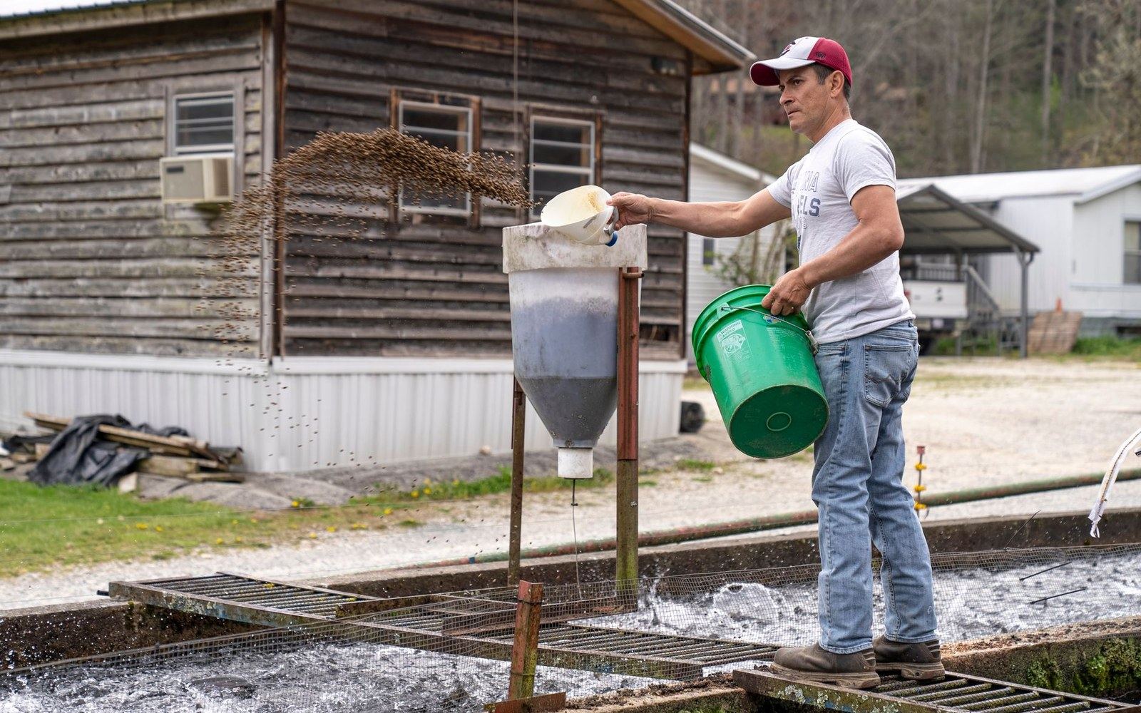
Feed enters a Delta catfish pond as floating pellets — typically grain-based, formulated for a target protein level — broadcast from mechanical feeders mounted on the bank or from feed blowers on boats. The fish rising to the surface to feed is the farmer's real-time monitor of pond health; a population that stops responding to feed is signaling an oxygen problem, disease, or stress before any instrument confirms it.
The economics of feed conversion are the economics of the whole industry in miniature. Feed is the largest operating cost. The ratio of feed put in to pounds of fish produced — the feed conversion ratio — tracks closely to pond oxygen management, water temperature, and stocking decisions. A well-managed pond in good conditions converts somewhere around two pounds of feed to one pound of fish gain. That number, set against grain prices, fish prices, and processing capacity, is what determines whether any given pond acre pencils out in a given year.
The pond, then, is not a passive container. It is a managed system built on the Delta's specific physics — its flatness, its water table, its clay-rich alluvial soil — and maintained through constant intervention against the chemistry of warm water and dense stocking. The levee walls are six feet of compacted Delta mud. Everything inside them is engineering.
What keeps the fish alive
- Paddlewheel aerators
- floating units standard from the 1970s onward; positioned to prevent dead zones
- Emergency aeration
- trailer-mounted units deployed overnight during oxygen crashes
- Feed response
- fish rising to surface pellets is the primary real-time health indicator
Elsewhere in Ponds & Plants
Who is responsible for the river
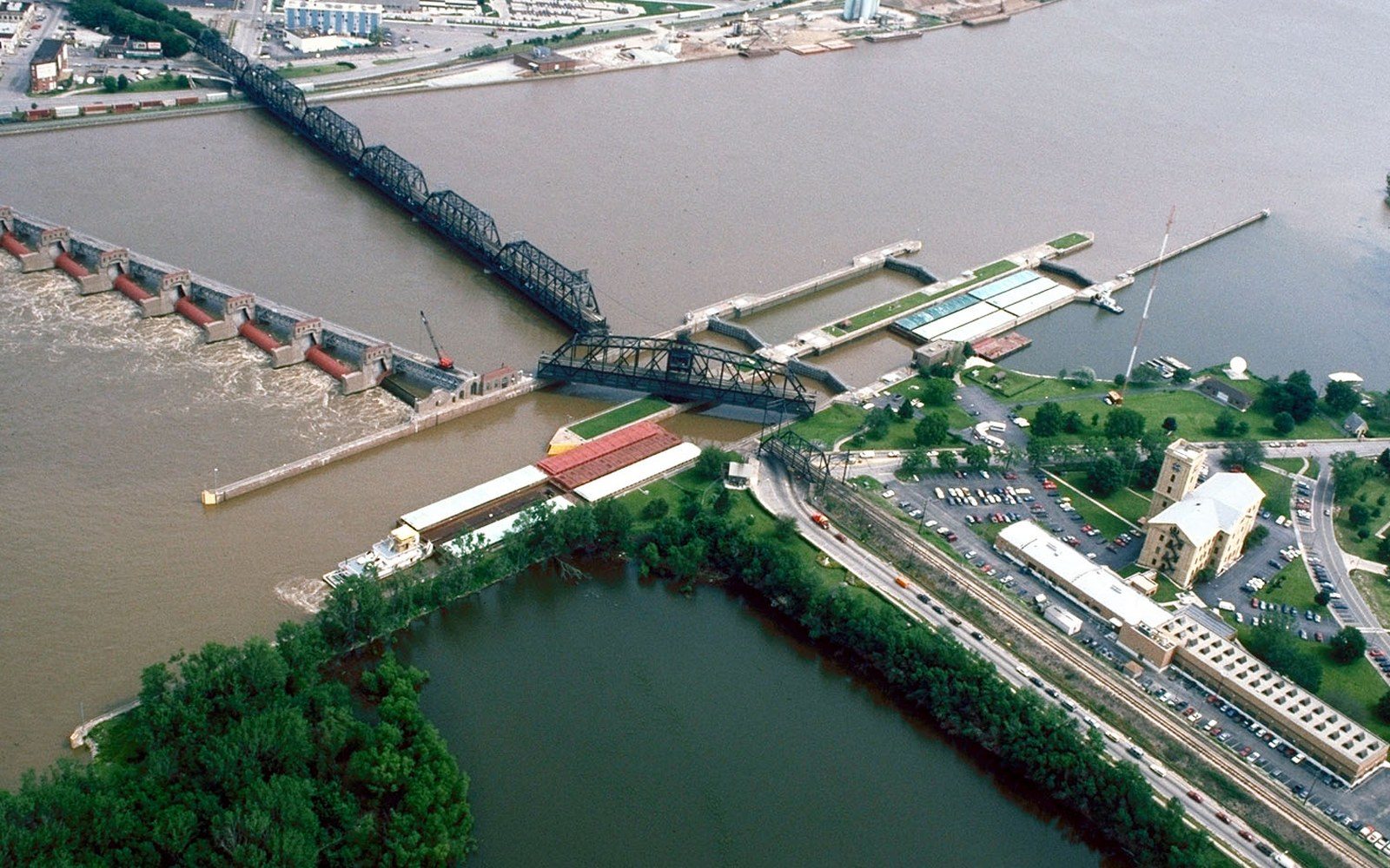
The Army Corps of Engineers and the Mississippi River Commission hold the mandate, and their structures define what the Delta can be used for.
The 1927 Water
The other river, and the drainage
The Yazoo drains the eastern side of the plain and the pumping and drainage schemes on it have been contested for decades.
The 1927 Water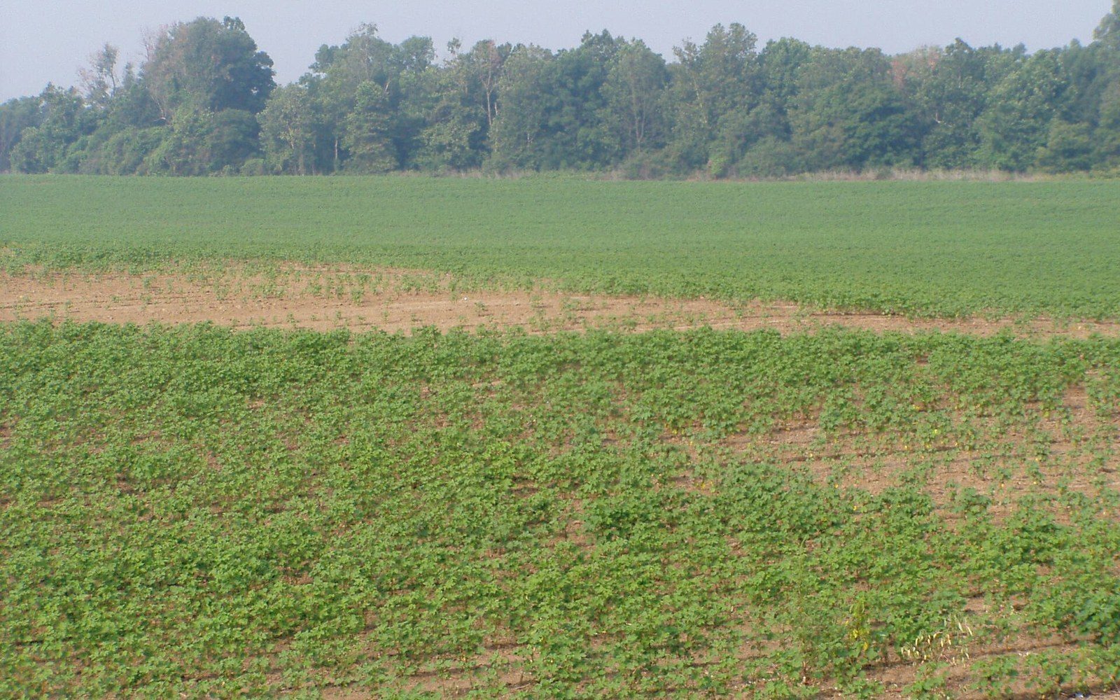
The name is geologically wrong
The Yazoo–Mississippi Delta is an alluvial floodplain between two rivers, not a river delta, and the distinction explains its soil.
Flat Country