The Commission and the Corps
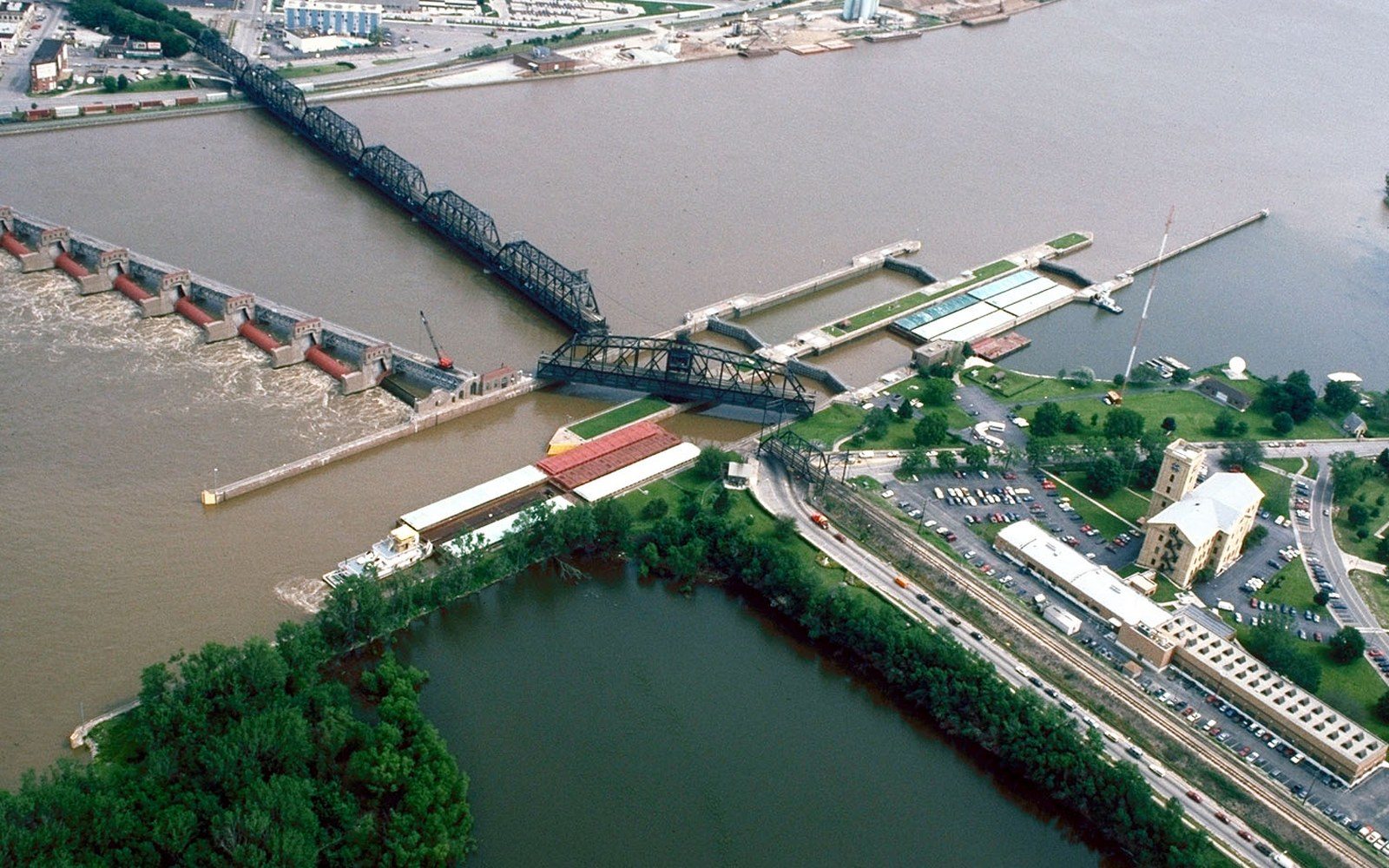
The Mississippi River Commission was established by Congress in 1879, three years after a particularly destructive flood season, with a mandate to improve navigation and prevent overflow along the lower river. From the start, its orientation was engineering: levees, cutoffs, revetments — the hard armoring of a river that historically moved where it wanted. The Commission does not build anything itself; it sets policy and allocates funds. The US Army Corps of Engineers ↗ executes the work on the ground, which means that the two bodies have operated in close, sometimes circular, institutional partnership for well over a century.
What they inherited was not a tame system. The Mississippi is the drainage outlet for roughly forty percent of the contiguous United States, and the lower reach — from Cairo, Illinois, to the Gulf — carries that water across land that is almost perfectly flat. The Yazoo–Mississippi Delta sits between the Mississippi on the west and the loess bluffs on the east, a bowl of alluvial soil with nowhere to send a flood except across itself.
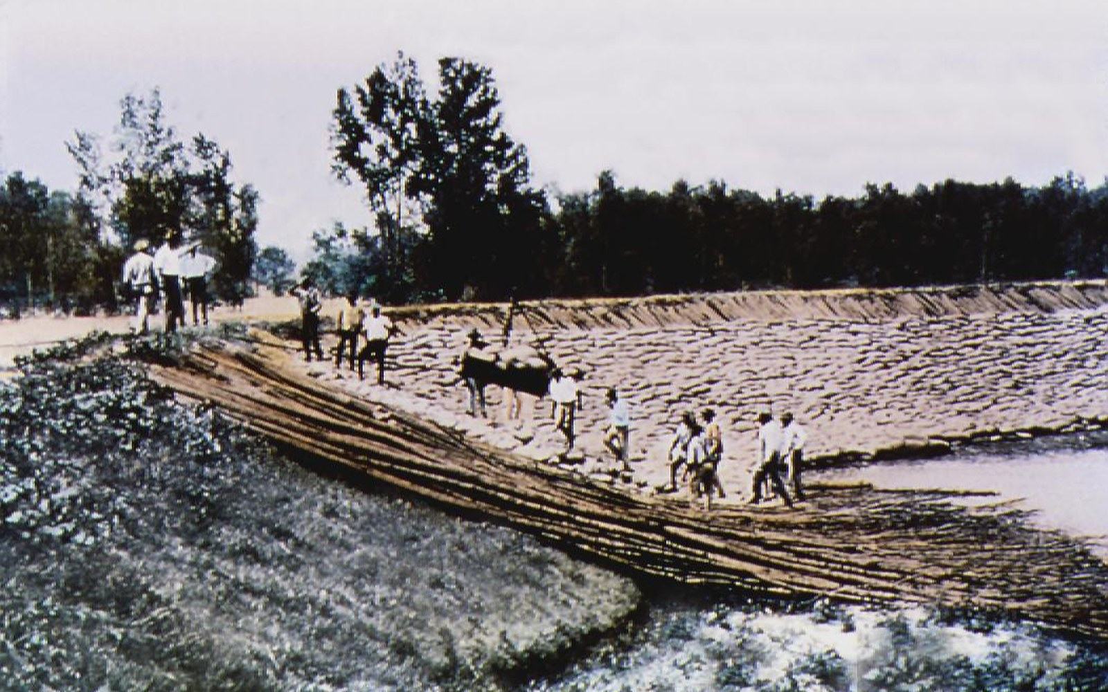
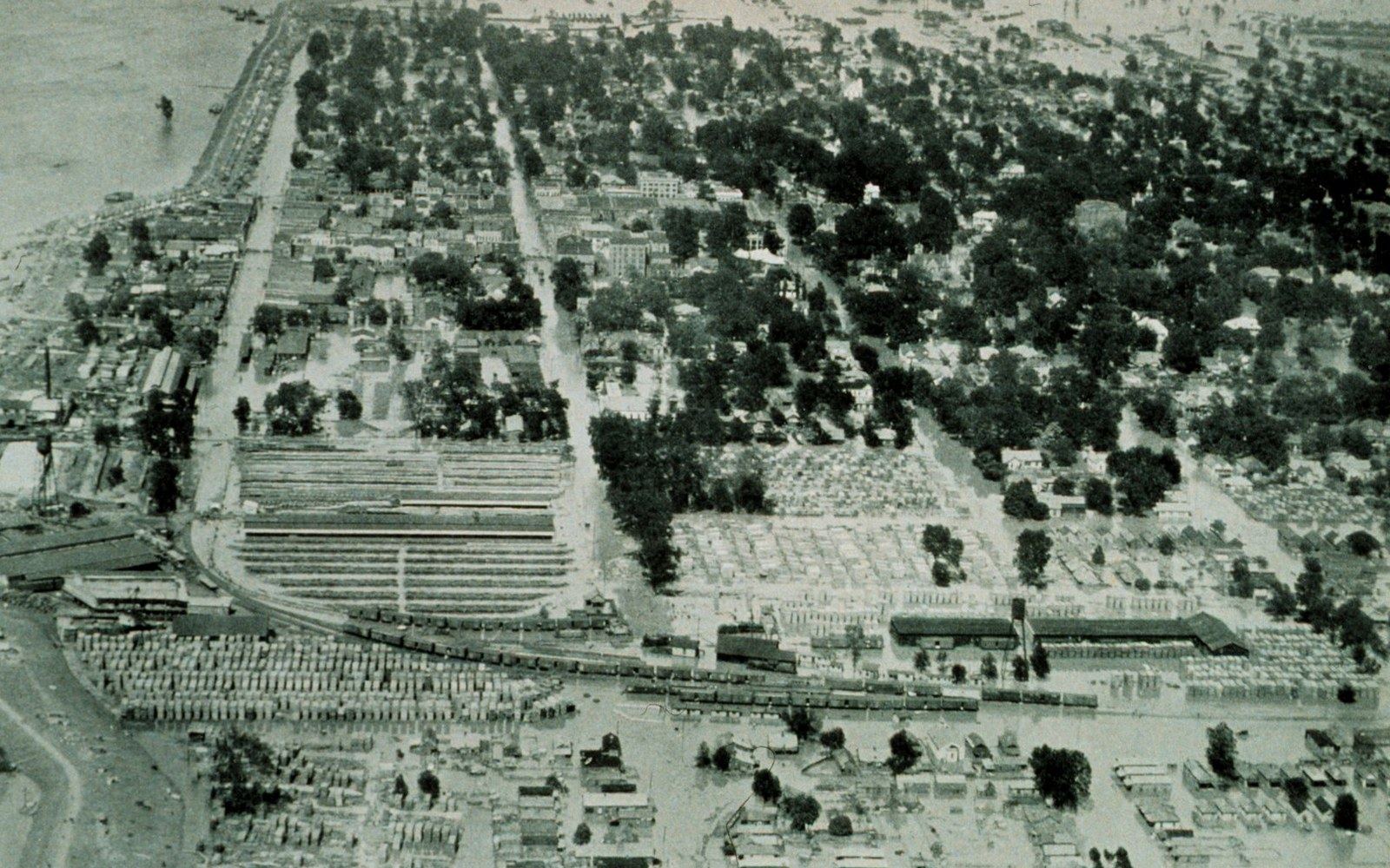
The 1927 flood broke that arrangement open. Water covered roughly twenty-seven thousand square miles; the levee-only policy the Commission had enforced since the 1880s was exposed as inadequate. The Flood Control Act of 1928, passed the following year, gave the Corps a vastly enlarged mandate: not just navigation, not just levees, but a comprehensive system of floodways, spillways, and upstream reservoirs. The Jadwin Plan — named for the Army Chief of Engineers at the time — became the blueprint, and the Corps has been building from it ever since.
Read next
- Main-stem levees
- run along the Mississippi through Washington, Bolivar and Coahoma counties; maintained by local boards under federal supervision
- Steele Bayou pump station
- manages interior drainage in the Yazoo Backwater Area; authorized 1941
- Revetments
- articulated concrete mats sunk along eroding riverbanks to hold the channel in place
- Old River Control Structure
- prevents the Mississippi from diverting into the Atchafalaya; operational since 1963
What the Mandate Means on the Ground
The practical expression of that mandate is a set of structures that determine what the Delta can do with water. The main-stem levees running along the Mississippi through Washington, Bolivar, and Coahoma counties are Corps structures, maintained by local levee boards under federal supervision and federal funding. Where the levee line holds, farmland is protected. Where it doesn't reach, or where interior drainage backs up behind it, land stays wet.
Interior drainage is the other problem. Rain falling on the Delta cannot reach the Mississippi directly — the levees block it. It drains instead into the Yazoo River and its tributaries: the Sunflower, the Bogue Phalia, the Quiver. The Yazoo Backwater Area in the southern Delta, covering parts of Humphreys, Sharkey, and Issaquena counties, is the lowest point of the lowest plain, and it floods from inside when the Sunflower River backs up and from outside when the Mississippi is high enough to push water back up the Yazoo's mouth. The Corps manages this through a pump station at Steele Bayou, authorized under the 1941 Flood Control Act and operated intermittently since the 1960s.
Revetments — articulated concrete mats sunk along the riverbank — hold the channel in place against the erosive force of the current. Without them, the river would migrate laterally, as it did repeatedly before federal intervention, threatening to leave river towns like Vicksburg ↗ without navigable water. The Old River Control Structure near the Louisiana border is the most consequential of all: it prevents the Mississippi from capturing the Atchafalaya as its main channel, an event that would effectively end the port of New Orleans as a deep-water terminal. That structure is a Corps project, authorized in 1954 and in continuous operation since 1963.
The levee-and-structure system created the conditions under which the Delta became farmable at scale — catfish ponds, cotton fields, soybean rows — by guaranteeing a degree of flood protection that private capital alone could never have built. The Corps and the Commission did not build the Delta economy, but they built the physical preconditions for it. That is the weight of the mandate: not management of a natural river, but maintenance of a controlled one, with the costs and consequences of that control distributed across every acre behind the levee line.
The practical expression of that mandate is a set of structures that determine what the Delta can do with water.
Elsewhere in The 1927 Water
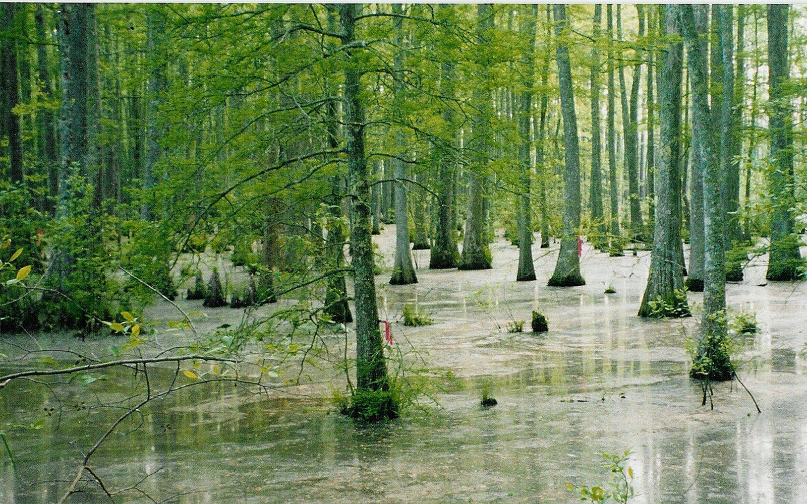
Bottomland forest became farmland
The plain was hardwood bottomland before it was cleared, and the remaining fragments are what conservation programmes now work with.
Flat Country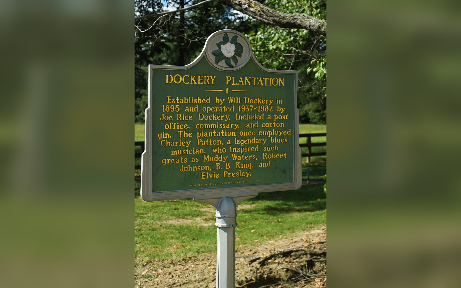
A plantation with a documented roster
Dockery Farms is cited as a place where several foundational players worked and played, which makes it a location rather than a legend.
Off Dockery
The earliest of the names
Charley Patton's recordings from 1929 onward are the earliest substantial body of Delta blues on record, and they are dated and catalogued.
Off Dockery