The river that collects
The Mississippi gets the attention, but the Yazoo River does the Delta's actual internal work. Rising near Greenwood where the Tallahatchie and Yalobusha Rivers meet, it runs roughly southwest for about 190 miles before emptying into the Mississippi at Vicksburg. Along the way it drains a catchment that covers most of the Yazoo–Mississippi Delta's eastern half — the low interior ground that lies behind the main levee and has nowhere else to send its water.
The problem is structural. The Delta's surface tilts almost imperceptibly toward the Yazoo, and overbank deposition over thousands of years built soils fine-grained enough to hold water rather than shed it. Rain that falls on the plain moves slowly toward the drainage ditches, slowly into the tributary streams, and slowly into the Yazoo itself. When the Mississippi runs high, its backwater can push up the lower Yazoo and stall that movement entirely — water from interior fields has nowhere to go until the big river falls. In a bad year, the interval between rainfall and drainage can be measured in weeks.
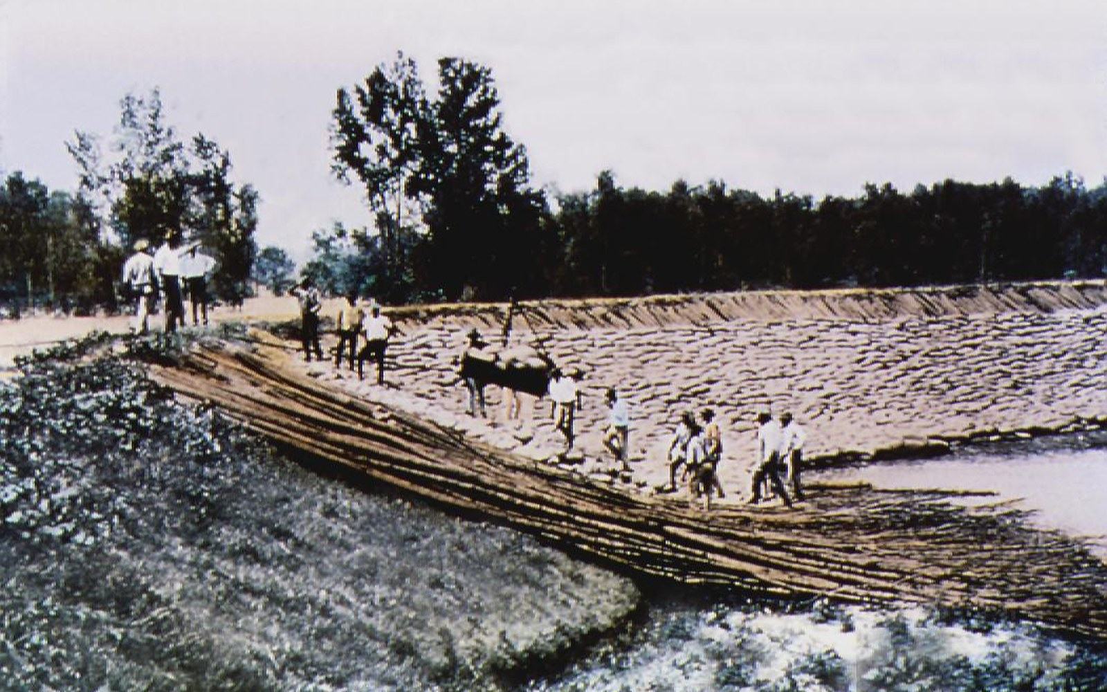
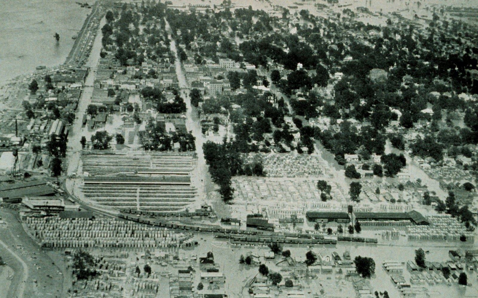
The US Army Corps of Engineers has mapped the backwater area carefully: at its worst extent, backwater flooding from the Mississippi has covered well over a million acres of Delta farmland in a single event. The 1927 flood, the defining disaster in the history of American water policy, demonstrated on a catastrophic scale what happens when both systems fail together.
Regulatory turning point
- EPA Section 404 veto of the Yazoo Backwater Pumpone of the few ever issued under the Clean Water Act; blocked a near-complete project on wetland-loss grounds; veto has remained in force across multiple subsequent administrations
- 2019 backwater floodmonths-long inundation of the southern Delta; renewed political pressure to revisit the pump decision
Pumps, politics, and the pump that wasn't built
The engineering answer is pumps — large enough to lift interior water over or through the levee and force it into the Mississippi regardless of what the big river is doing. The Yazoo Backwater Pump, proposed by the Corps and authorised under the Yazoo Backwater Project decades ago, was designed to protect roughly 630,000 acres of low-lying land in the southern portion of the floodway area, centred in the counties around Humphreys County and extending toward the Sunflower River basin.
The project was still awaiting construction in 2008 when the Environmental Protection Agency vetoed the pump station under Section 404 of the Clean Water Act, determining that the protected wetlands that would be drained — bottomland hardwood remnants and seasonal wetlands — were waters of the United States, and that the economic benefits did not justify their loss. That veto, one of the very few EPA vetoes ever issued under the Clean Water Act, remains one of the most contested regulatory decisions in the Delta's recent history. The pump was never built; the backwater area remained vulnerable.
The consequences became visible again in 2019, when persistent backwater flooding left parts of the Yazoo basin under water for months ↗. Farmland was idled, infrastructure damaged, and the political argument over the pump reignited with the same positions roughly intact: agricultural interests pointing to lost production, conservation interests pointing to the wetland values the EPA veto was designed to protect. The Corps has continued to study alternatives, but the fundamental tension between drainage and wetland preservation has not resolved.
What the Yazoo measures
The river is also a ledger of the plain's agricultural history. The drainage district system that overlies the Delta — a grid of lateral ditches, collector canals, and pump stations — was built out incrementally from the late nineteenth century onward, largely by county-level drainage districts that had the authority to tax land and issue bonds. It was that infrastructure, more than any single federal project, that converted the interior bottomland from seasonal marsh to cropland. The Illinois Central Railroad's presence in the region both enabled and accelerated the clearing; getting produce to market required drainage, and drainage made the land worth clearing.
The Sunflower River, the Yazoo's principal interior tributary, runs through Indianola and Belzoni — the heart of the catfish pond district — and its flow regime reflects every decision made upstream about drainage timing and volume. The pond operations that now cover tens of thousands of acres in Humphreys County are themselves part of that same managed landscape, dependent on the drainage infrastructure that made the plain farmable, and on the Yazoo to carry the water away.
The US Army Corps of Engineers has mapped the backwater area carefully: at its worst extent, backwater flooding from the Mississippi has covered well over a million acres of Delta farmland in a single event.
Read next
Who is responsible for the river
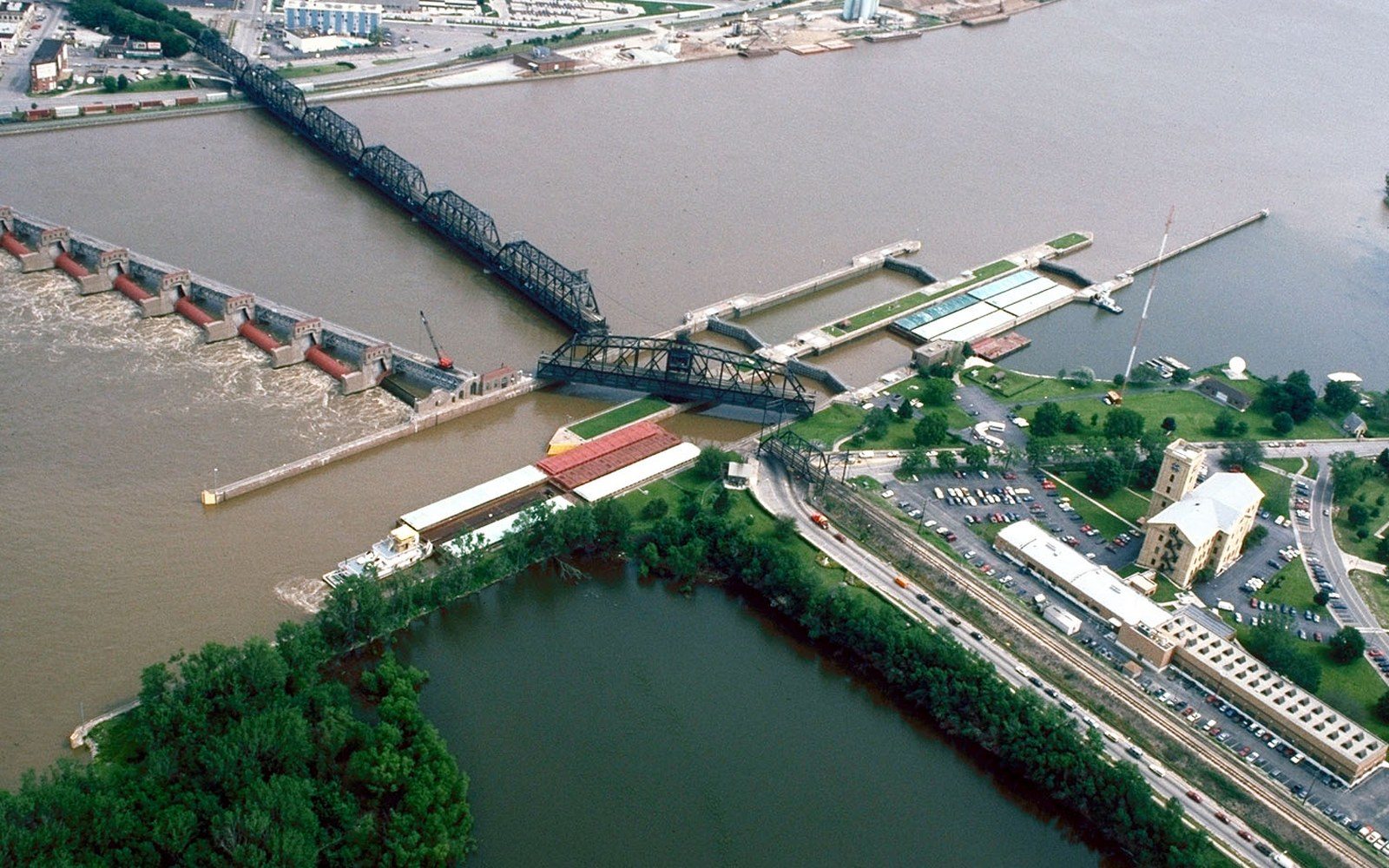
The Army Corps of Engineers and the Mississippi River Commission hold the mandate, and their structures define what the Delta can be used for.
The 1927 Water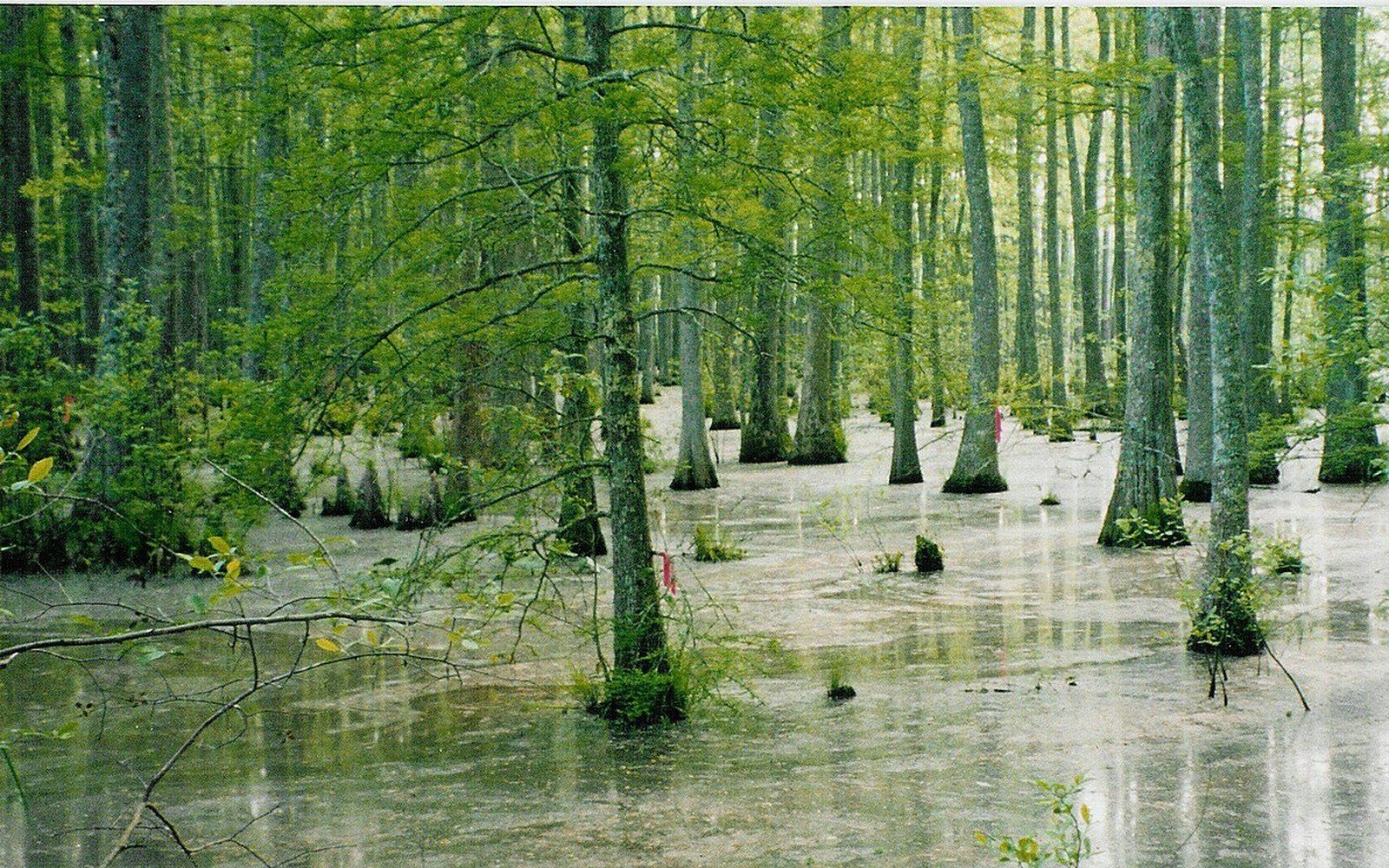
Bottomland forest became farmland
The plain was hardwood bottomland before it was cleared, and the remaining fragments are what conservation programmes now work with.
Flat Country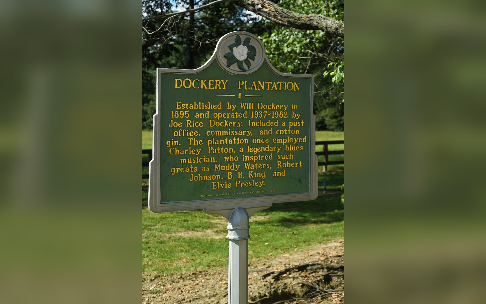
A plantation with a documented roster
Dockery Farms is cited as a place where several foundational players worked and played, which makes it a location rather than a legend.
Off Dockery