What the river wants to do
The lower Mississippi is not a fixed thing. It is a meandering river crossing an alluvial plain — flat, deep-soiled, built from its own deposits — and meandering rivers migrate. They cut new channels, abandon old ones, and periodically execute what hydrologists call an avulsion: a wholesale shift to an entirely new course. The Mississippi has done this several times in the last five thousand years, swinging between routes that now carry the Atchafalaya, the Teche, and the present channel. Left to itself, it would almost certainly be draining to the Gulf through the Atchafalaya basin by now. The gradient there is steeper, the path shorter, and the physics have been pointing in that direction for decades.
The engineering response to that tendency is the Old River Control Structure, a complex of gated concrete works near Simmesport, Louisiana, built by the US Army Corps of Engineers in the 1950s and enlarged after a near-failure during the 1973 flood. It holds the Atchafalaya to roughly thirty percent of the combined flow, keeping the remaining seventy percent on the present channel through Baton Rouge and New Orleans. Without it, the Mississippi would have completed its diversion to the Atchafalaya in a matter of decades — a shift that would have stranded two major ports and devastated the freshwater supply to south Louisiana. The structure is arguably the most consequential single piece of water infrastructure in North America, and it requires continuous monitoring and maintenance to function.
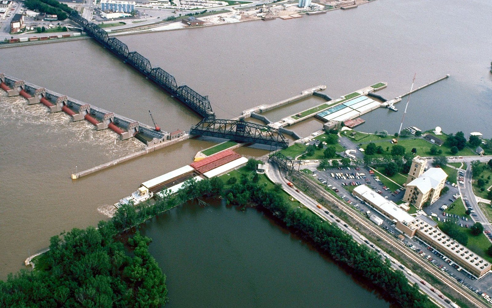
Upstream of Old River, through the Delta proper — the Yazoo–Mississippi Delta, the flat plain between the river and the Yazoo — the control system is a different kind of work: levees, revetments, floodways, and cutoffs, all of them managed in concert by the Corps and the Mississippi River Commission, the federal body established after the catastrophic 1873–1882 period of flood and debate.
Chronology
- 1879Mississippi River Commission established; levees-only doctrine formalized
- 1927Great Flood; sixteen million acres inundated across seven states
- 1928Flood Control Act; Corps authorized to build floodways, spillways and levee upgrades
- 1930sEngineered cutoffs shorten river by 150+ miles; revetment program expanded
- 1937Bonnet Carré Spillway opened for first time
- 1950sOld River Control Structure built
- 1973Near-failure of Old River during high water; structure enlarged afterward
- 2008EPA vetoes Yazoo Pumps project on environmental grounds
- 2011Morganza Floodway opened for second time in history
How the levee system was built and why it was argued about
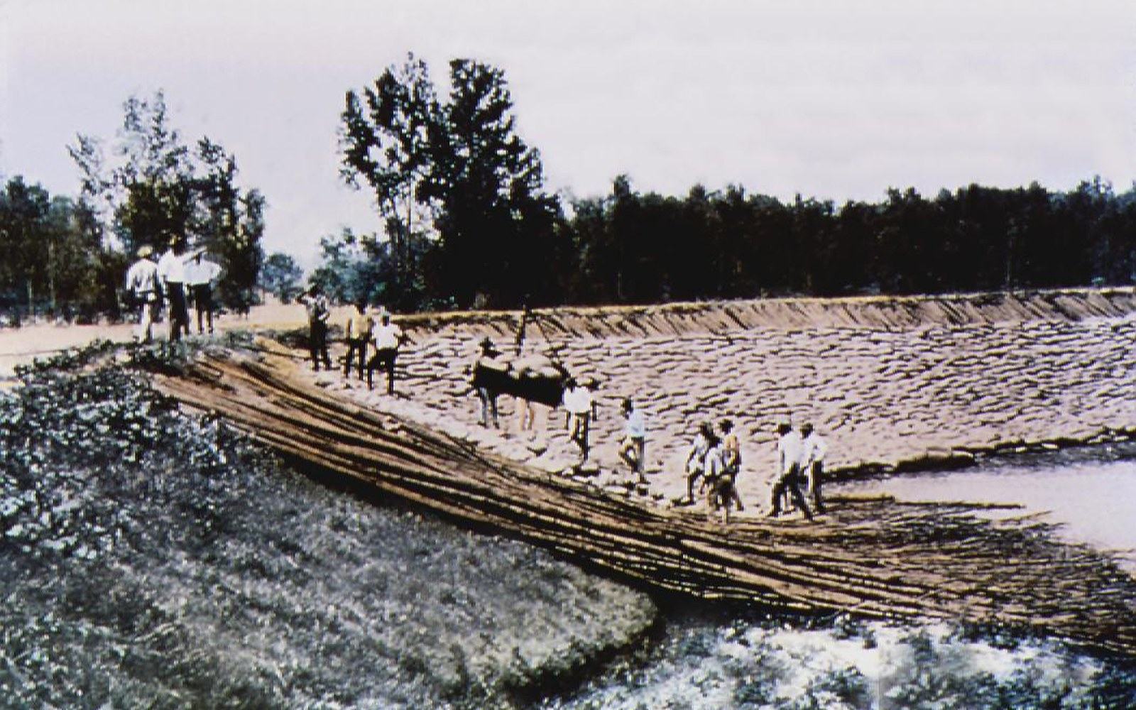
Levees came first, and they came piecemeal. Planters and eventually local levee districts built earthen walls along the banks through the eighteenth and nineteenth centuries, raising them after each flood destroyed whatever had preceded them. The organizing theory until very late in the nineteenth century was that levees alone would do the job — that by confining the river between walls, the increased velocity would scour the channel deeper and carry sediment to the Gulf. This was the "levees-only" policy, championed by the Mississippi River Commission from its founding in 1879, and it was wrong in a critical way that the Great Flood of 1927 made impossible to ignore.
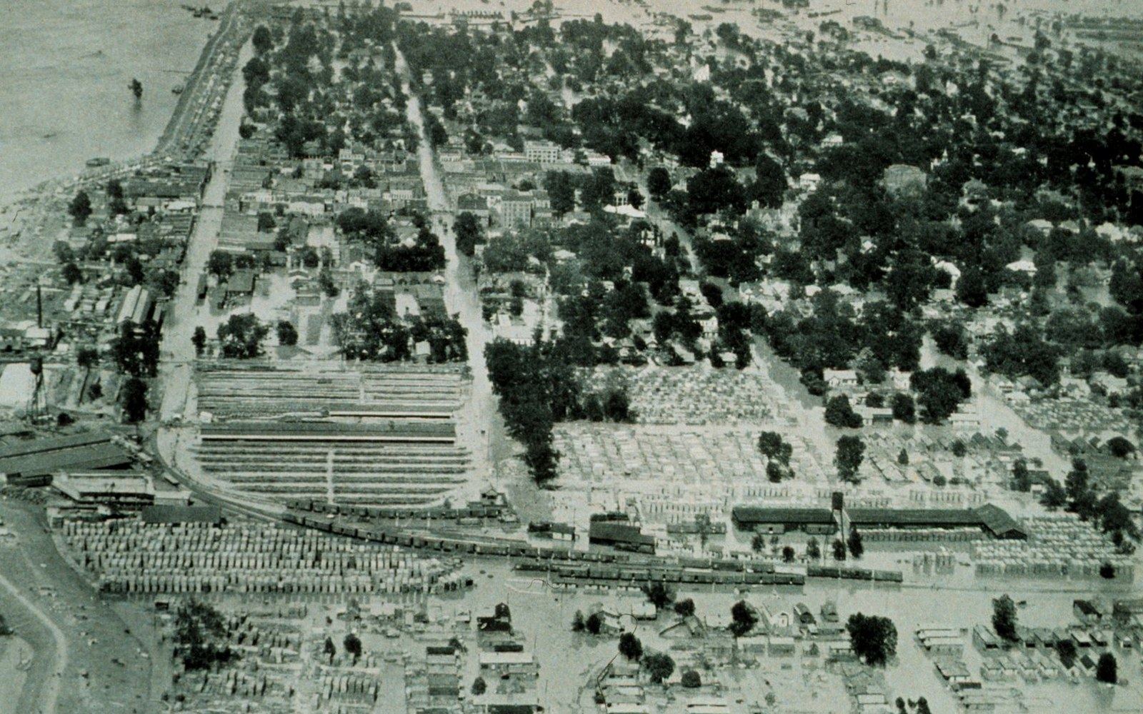
In April and May of 1927, the levees failed ↗ along hundreds of miles of river front. More than sixteen million acres flooded across seven states. The scale of the failure discredited the levees-only doctrine and forced a new framework: the Flood Control Act of 1928, which authorized the Corps to build a system combining levees with engineered floodways and spillways; the resulting flood-control system includes the Atchafalaya and Morganza floodways and the Bonnet Carré Spillway near New Orleans. The theory shifted from containment to managed release: in an extreme event, designated floodways would be opened deliberately, directing water away from population centers. The Bonnet Carré was opened for the first time in 1937 and has been used more than a dozen times since. The Morganza Floodway, more dramatic in scale, was opened in 2011 for only the second time in its history.
The revetment program accompanied the levees. A revetment is articulated concrete matting sunk to the riverbed along the outside of bends, where current is fastest and bank erosion most severe. Without revetment, the river eats its own banks, bends migrate downstream, and the channel can cut through a neck of land and create a new, shorter path — a process the Corps has also managed deliberately, through engineered cutoffs in the 1930s that shortened the lower Mississippi by more than a hundred and fifty miles. Straightening increased the gradient, which accelerated flow and scoured the channel deeper. It also, over time, increased the rate of subsidence downstream, a consequence that was understood imperfectly at the time.
The arguments that have not been settled
The system works in the sense that there has been no uncontrolled catastrophic avulsion since 1928, and major cities have been protected through flood events that, under the pre-1928 configuration, would have been far more destructive. It does not work in the sense that it has costs that compound.
The levees that protect the Delta's farmland and towns also prevent the overbank deposition — seasonal flooding that spreads silt across the plain — that built the soil in the first place. The river still carries sediment, but it carries it past the Delta and dumps it at the mouth in deep water where it can no longer build land. The Louisiana coastal plain, deprived of that annual replenishment, is subsiding and dissolving into the Gulf at a rate the USGS has measured as among the fastest land-loss rates on earth ↗. This is a direct consequence of the flood-control system, and it is not reversible under the current engineering configuration.
The Yazoo Pumps project — a proposal to install large pumps that would drain agricultural backwater from the Yazoo basin faster and more completely — has been debated for decades and was vetoed by the EPA in 2008 on environmental grounds before being revived and rejected again. It is an example of how the system's internal logic keeps generating new infrastructure proposals: levees create drainage problems, drainage problems generate pump proposals, and each solution shifts the hydraulic stress somewhere else.
The Bonnet Carré was opened for the first time in 1937 and has been used more than a dozen times since.
The Corps has also engaged in continuous bank stabilization along the lower river, placing rock and concrete to hold meanders in place. Critics have argued that this rigidity prevents the natural channel adjustment that would otherwise distribute flow and sediment more widely. Proponents argue that without it, the channel would destabilize unpredictably and the infrastructure dependent on a fixed navigation channel — port facilities, pipelines, bridges — would be compromised.
What is not argued is the scale. The Mississippi River and Tributaries project, the formal name for the post-1928 system, is described by the Army Corps itself as the largest civil works project in American history. It encompasses more than three thousand miles of levees, hundreds of miles of revetment, and a collection of control structures whose operation requires constant modeling and adjustment. The river has not gone where it wants to go. Whether holding it in place is sustainable across the next century — given subsidence, sediment starvation, and a changing flood regime — is the question the engineering community continues to work through, and the Delta on both sides of the levee will be shaped by whatever answer comes.
Read next
The other river, and the drainage
The Yazoo drains the eastern side of the plain and the pumping and drainage schemes on it have been contested for decades.
The 1927 Water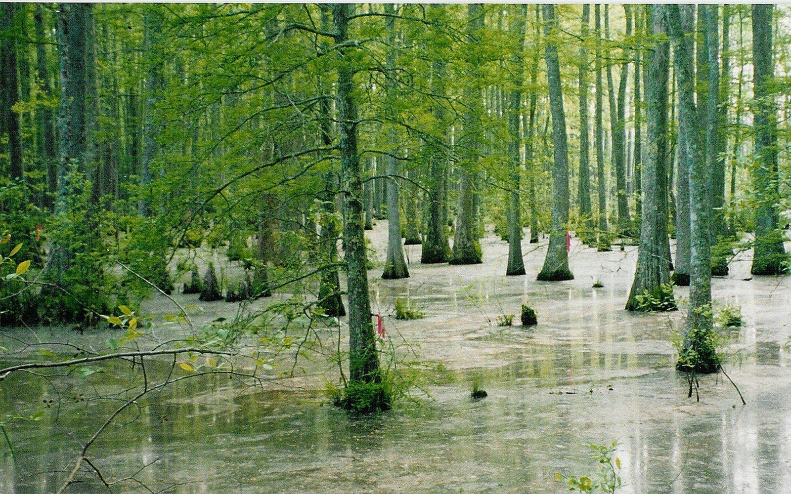
Bottomland forest became farmland
The plain was hardwood bottomland before it was cleared, and the remaining fragments are what conservation programmes now work with.
Flat Country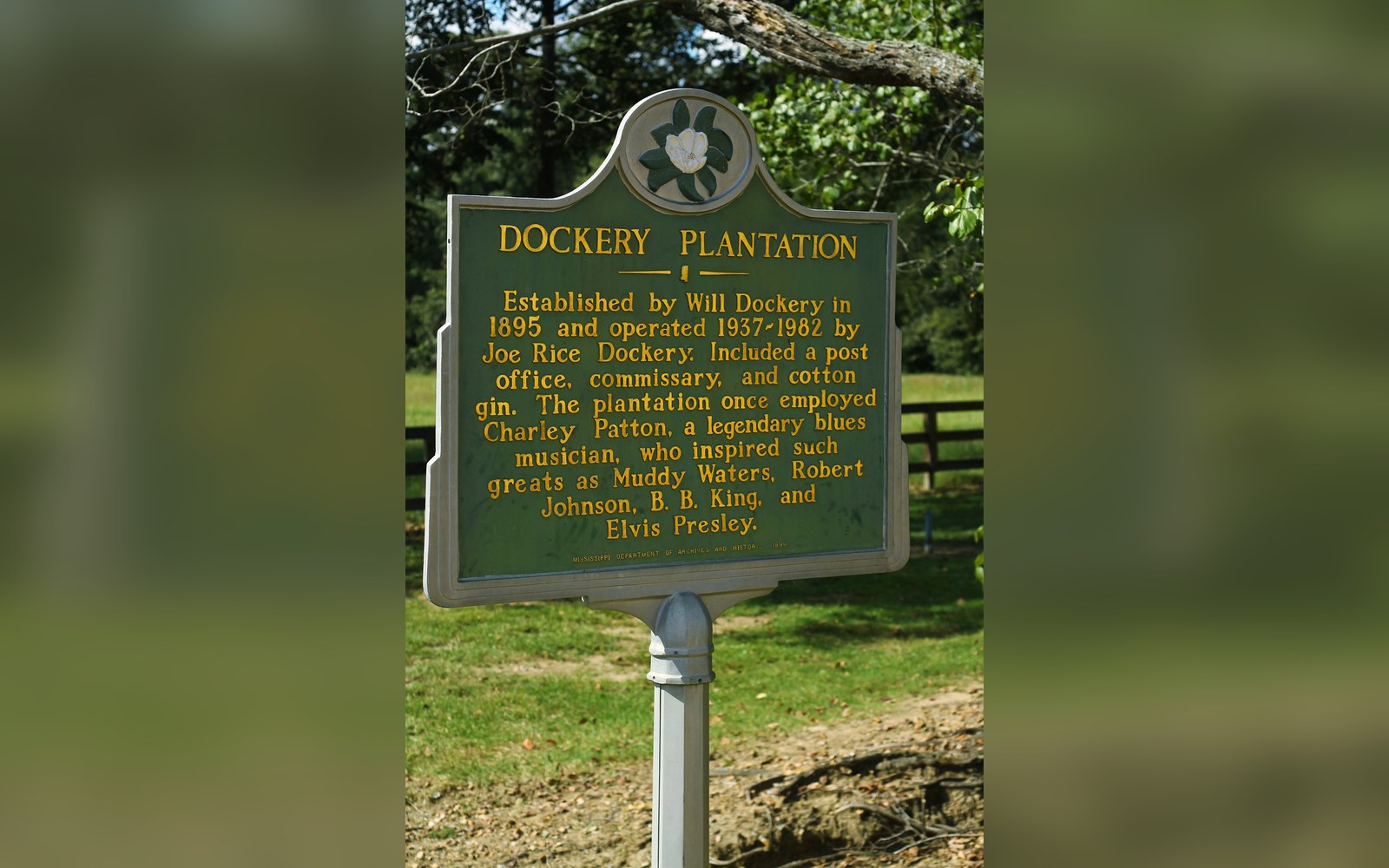
A plantation with a documented roster
Dockery Farms is cited as a place where several foundational players worked and played, which makes it a location rather than a legend.
Off Dockery