What the Forest Was
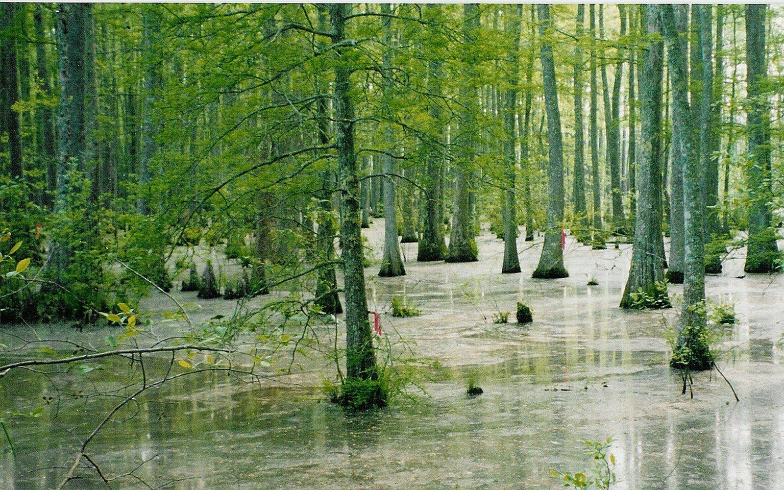
The Yazoo–Mississippi Delta before large-scale clearing was bottomland hardwood — a term that means exactly what it says: deciduous forest on low, seasonally flooded ground. Bald cypress stood in the sloughs and oxbow lakes. Overcup oak, water tupelo, and sweetgum dominated the slightly higher flats. Cherrybark oak and Nuttall oak held the natural levees where drainage was better. The canopy closed overhead, the floor was periodically underwater, and the whole system ran on the cycle of overbank deposition: the Mississippi and the Yazoo spilled each spring, left silt across the floor, and receded.
That cycle built the soil. Centuries of it produced the deep, fine-grained alluvial plain that made the Delta so attractive to planters once clearing looked economically possible. The very fertility that drew agriculture was the product of the forest the agriculture destroyed.
The Clearing
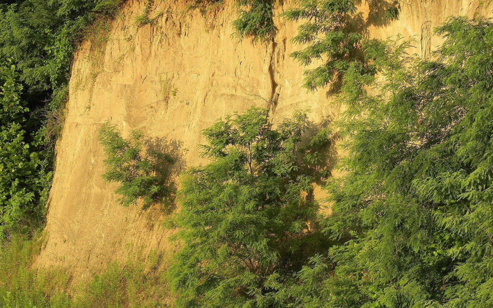
Large-scale clearing of the Delta's bottomland hardwood did not happen all at once. Before the Civil War, plantations occupied the better-drained ridges and natural levees — the land that could be broken and planted without major drainage work. The vast interior, the backswamps and flats, remained mostly forested. The Illinois Central Railroad pushed deeper into the Delta from the 1880s onward, and the timber industry followed the rails. Logging crews took the old-growth cypress and hardwood, leaving cutover ground that planters and land companies then drained and converted. The Mississippi River Commission's levee-building programme, accelerated after the 1927 flood and the Flood Control Act that followed it, controlled spring flooding well enough that the interior flats became workable. By mid-century, the agricultural conversion that had begun on the ridges had reached nearly every corner of the plain.
The numbers shifted dramatically. Ecologists and the US Fish and Wildlife Service have documented that the lower Mississippi River alluvial valley — the broader region of which the Yazoo–Mississippi Delta is the core — lost roughly 80 percent of its original bottomland hardwood forest ↗ between European settlement and the late twentieth century, the overwhelming majority of that loss occurring after 1900.
What Remains and What Is Being Recovered
The fragments that survived clearing are concentrated where agriculture was uneconomical: steep slough margins, frequently flooded backwaters, and ground too wet or irregular to drain and work at profit. Chunks of bottomland hardwood persist in the Yazoo National Wildlife Refuge in Washington County — and in scattered tracts along the Yazoo River and its tributaries including the Sunflower River. These are not wilderness remnants in the mountain sense; they are often second growth on ground that was logged, partially farmed, and then abandoned or purchased for conservation before row-crop conversion could complete.
The US Army Corps of Engineers and the Natural Resources Conservation Service have both run restoration programmes specifically targeting bottomland hardwood re-establishment on marginal agricultural land in the Delta. The NRCS Wetlands Reserve Program — now absorbed into the Agricultural Conservation Easement Program — paid landowners to retire wet farmland and replant it with native hardwood species. The goal was not romantic restoration but a recognised set of functions: flood water storage, sediment retention, and habitat connectivity between the surviving refuge tracts.
The ecological case rests on what bottomland hardwood does to water. A forested floodplain absorbs and holds overflow that a bare, drained field sheds immediately into ditches and then into the Yazoo system. Every acre of restored bottomland reduces peak flow in the drainage network. This was understood qualitatively for decades and has been measured repeatedly in the lower Mississippi valley; the Corps's own flood-damage models now account for it.
Read next
- Bald cypress
- sloughs, oxbow lakes, standing water
- Overcup oak, water tupelo
- seasonally flooded flats
- Cherrybark oak, Nuttall oak
- natural levees, better-drained ground
- Sweetgum
- widespread across mid-elevation bottomland
What the clearing produced was some of the most productive agricultural land in North America. What it cost was a functional ecosystem that took the river thousands of years to assemble. The fragments and the restoration tracts are, geologically speaking, very new beginnings on very old ground.
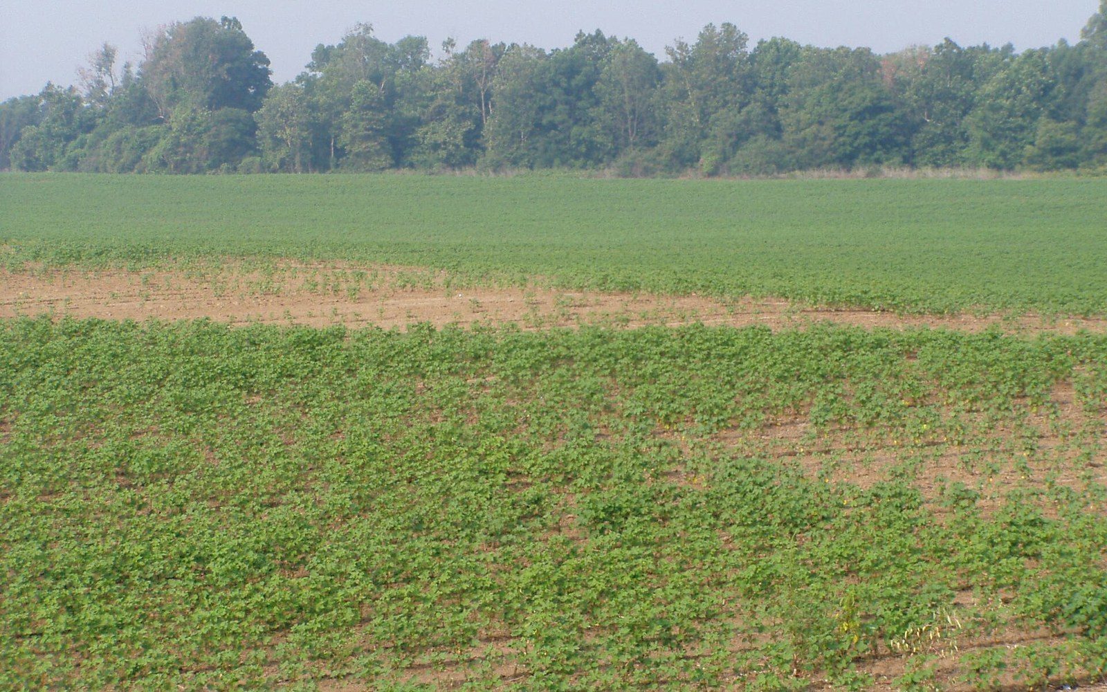
The fragments that survived clearing are concentrated where agriculture was uneconomical: steep slough margins, frequently flooded backwaters, and ground too wet or irregular to drain and work at profit.
Elsewhere in Flat Country
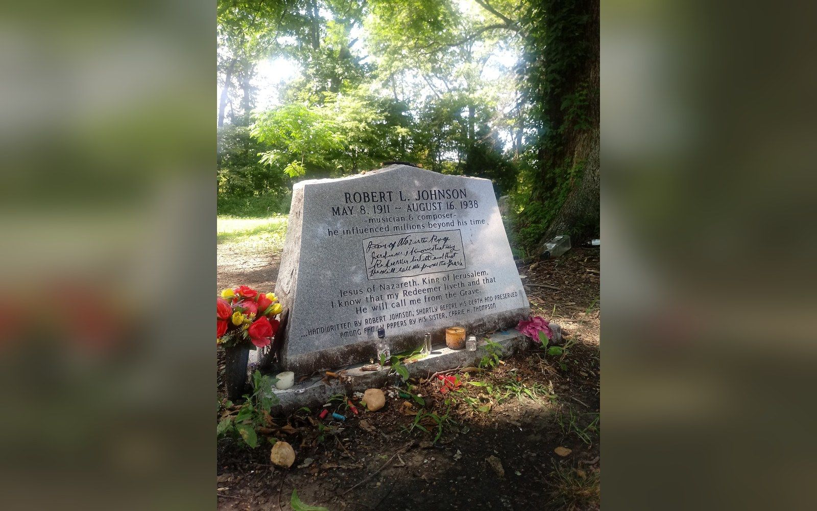
A short catalogue and a long argument
Robert Johnson recorded 29 songs in 1936 and 1937, and almost everything else attached to his name is later invention.
Off Dockery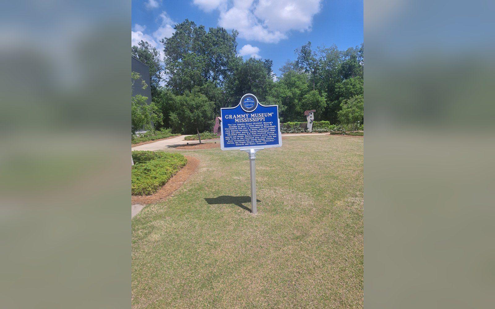
Markers that fix the geography
The Mississippi Blues Trail places documented markers at specific sites, which turns an oral history into a map.
Off Dockery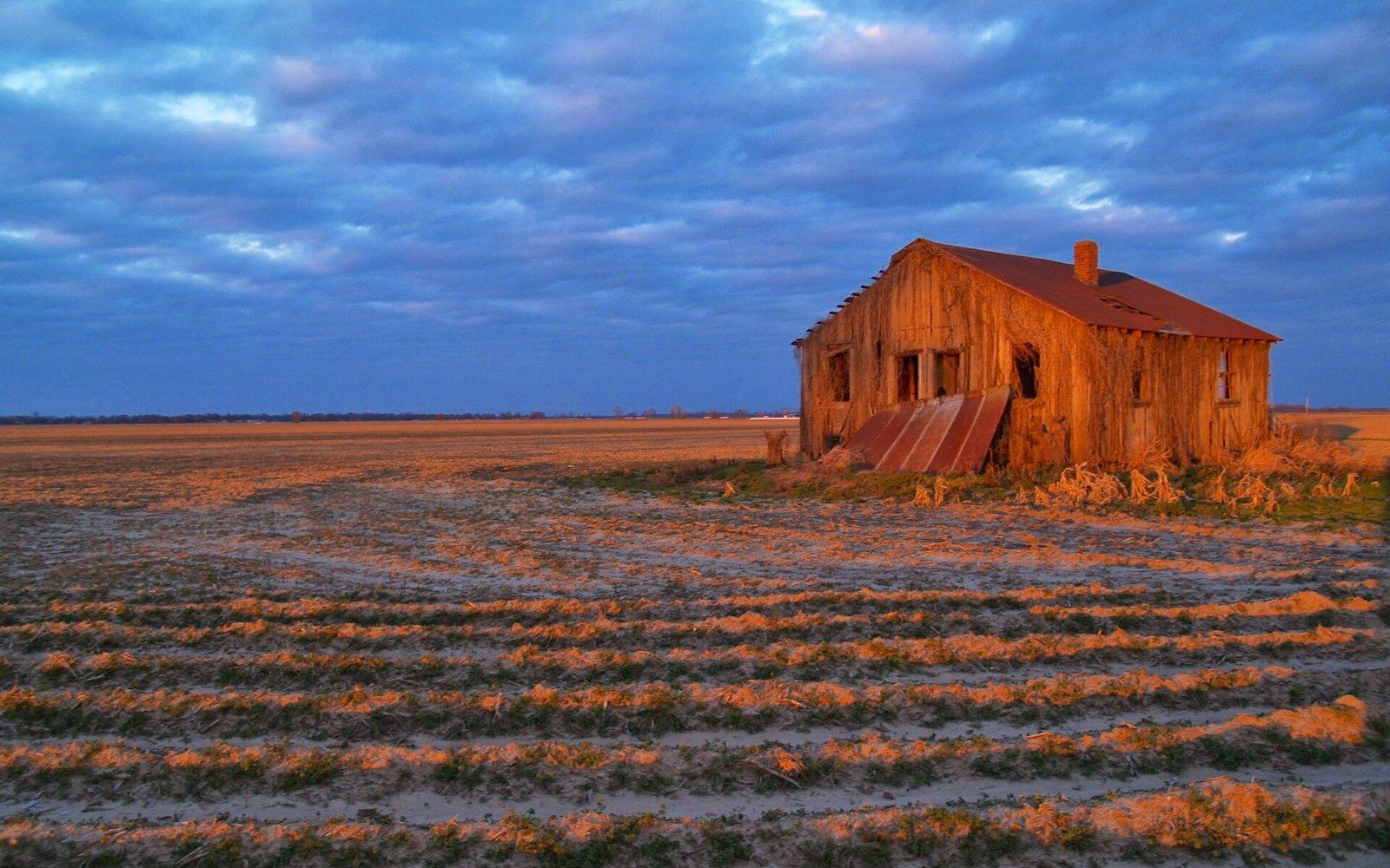
An arrangement that kept people in place
Sharecropping and the furnish system tied labour to the land through debt, and the accounting is documented in plantation ledgers.
Shares and Trains