Where the Alluvial Plain Ends
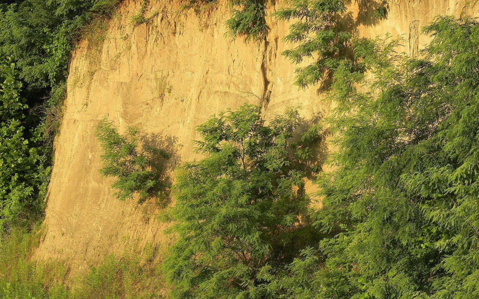
The Yazoo–Mississippi Delta is bounded on the east by something that has nothing to do with water. The bluffs rising above Vicksburg, and running south through Port Gibson and Natchez, are made of loess — a fine-grained, pale-yellow silt deposited not by the river but by wind. During the glacial periods, outwash plains to the north and west dried between flood seasons, and prevailing winds carried the finest particles eastward, building the bluff line over tens of thousands of years to depths that can exceed thirty feet.
Stand at the base of the Vicksburg bluffs and the contrast is immediate. The alluvial plain behind you is almost frictionlessly flat, its dark soils built by centuries of overbank deposition — river-borne sediment settling when the Mississippi spread across the floodplain. The loess bluffs in front of you are the opposite: pale, porous, self-draining, and steep enough to have given Civil War engineers their siege positions. The two landforms are adjacent, but they were made by different forces across different timescales.
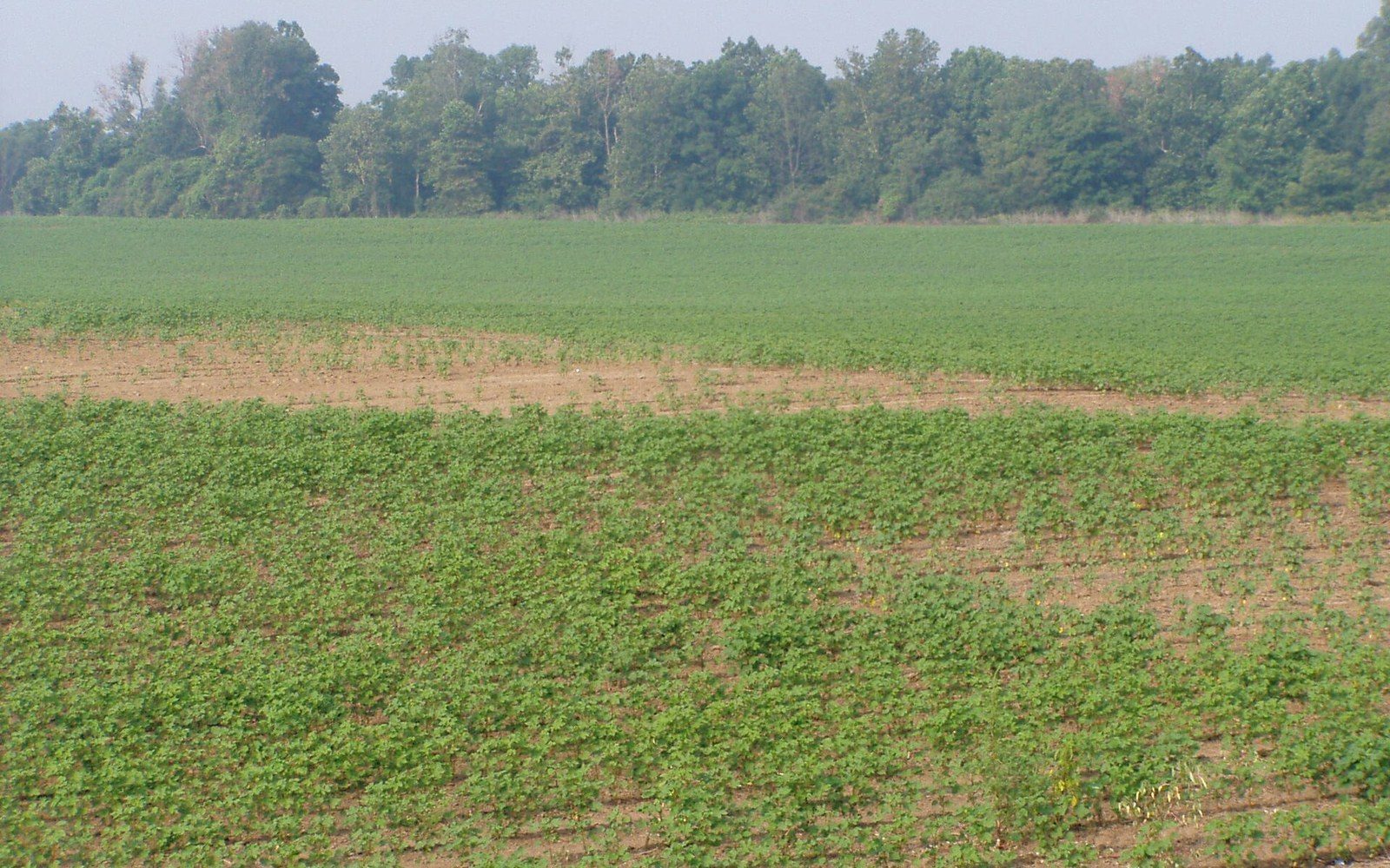
Loess has unusual structural properties. The silt particles bond together through surface tension and slight electrostatic charge, which lets loess stand in near-vertical walls when freshly cut but collapse suddenly when saturated. Road cuts through the bluff country expose these clean vertical faces for miles. The same porosity that makes the bluffs drain fast also makes them highly susceptible to erosion when vegetation is removed — a dynamic that shaped land use on the bluff margin very differently from the flat country below.
Chronology of formation
- Glacial periodsoutwash plains dried seasonally; wind carried fine particles eastward
- Tens of thousands of yearstimescale of loess accumulation to depths of thirty-plus feet
- Civil War, 1863bluff topography dictated siege positions at Vicksburg
The boundary itself is geologically abrupt. On a topographic map, the bluff line reads as a tight cluster of contours appearing suddenly out of the flat. On the ground, you drive across bottomland and then the road tilts sharply upward. There is no gradual transition. The Illinois Central Railroad, threading south from Memphis, kept to the western edge of this bluff line where practical, and early settlements at Vicksburg and Natchez occupied the high ground precisely because the bluffs offered elevation above the seasonal floods that the plain below absorbed and held.
Vicksburg sits on that edge. Its streets fall sharply toward the old river landing; the National Military Park behind the city follows the ridge lines. What determined those ridge lines was neither the Mississippi nor the Yazoo but the wind — carrying silt eastward from the river plain to the bluff margin and setting down, grain by grain, the wall that ends the Delta.
The silt particles bond together through surface tension and slight electrostatic charge, which lets loess stand in near-vertical walls when freshly cut but collapse suddenly when saturated.
Read next

Silt deposited by repeated flooding
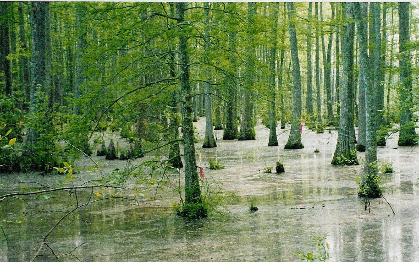
Centuries of overbank deposition built deep fine-grained soils, which is why the land was worth clearing and levee-ing in the first place.
Flat Country
A short catalogue and a long argument
Robert Johnson recorded 29 songs in 1936 and 1937, and almost everything else attached to his name is later invention.
Off Dockery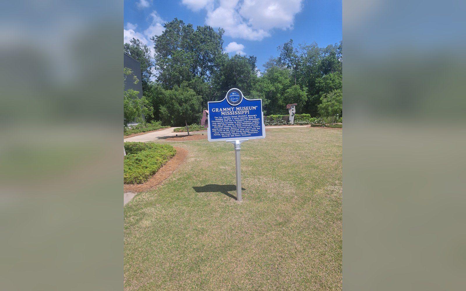
Markers that fix the geography
The Mississippi Blues Trail ↗ places documented markers at specific sites, which turns an oral history into a map.
Off Dockery