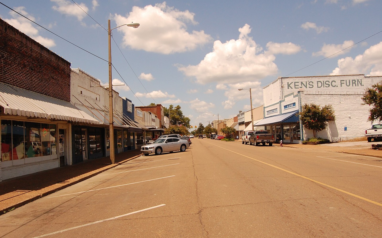
Belzoni sits at the centre of Humphreys County, which sits at the centre of the Yazoo–Mississippi Delta, which is itself a flat, silt-laden rectangle of alluvial plain roughly two hundred miles long and eighty miles wide between the Mississippi River levee to the west and the loess bluffs at Vicksburg and northward to the east. The geography is not incidental. The alluvial plain that made this land so productive for cotton was the same soil profile that made levee ponds practical and cheap: flat enough to flood uniformly, permeable enough to line by compaction, and supplied by a water table close enough to the surface that a pond could be filled and held without heroic engineering. When the catfish industry organised itself in the second half of the twentieth century, it organised itself here.
Why Humphreys County, and why catfish
The claim to a title is sometimes attributed to marketing instinct, but the underlying economics predate the signs. By the peak years of production — roughly the late 1990s through the early 2000s — Mississippi held the dominant share of US farm-raised channel catfish acreage, and Humphreys County consistently led the state. Figures reported by the USDA National Agricultural Statistics Service ↗ placed Mississippi catfish pond area in excess of 100,000 water acres at the industry's height, with Humphreys County accounting for a substantial portion of that total. Belzoni, the county seat, became the administrative and commercial centre of an industry that was by then the county's primary economic activity.
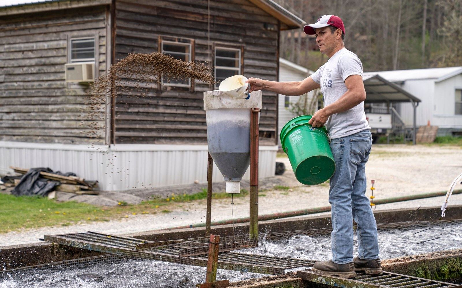
Channel catfish — Ictalurus punctatus — are native to the river systems of the central United States, including the Yazoo and the Sunflower, both of which drain the eastern portion of the Delta before the Yazoo's confluence with the Mississippi north of Vicksburg. The industry that emerged in the 1960s and 1970s did not domesticate a foreign species; it farmed an animal already present in the watershed, in purpose-built levee ponds that replicate, in controlled form, the shallow warm-water environment the fish requires. Humphreys County's water supply, flat topography and already-marginalised cotton land made the transition relatively low-friction. By the time cotton revenues declined and mechanisation had removed much of the labour demand that had sustained the plantation economy, catfish ponds offered a land use that could absorb the same acreage under a different operating model.
Processing has always been the constraint that determines what the ponds can actually sell. Belzoni's position as catfish capital rests not only on water surface but on its place in the supply chain: live fish move from Humphreys County ponds to processing facilities, some within the county and others in adjacent areas, and the processed product — fillets, nuggets, strips — moves from there into national distribution. The Catfish Institute, the industry's trade body, has been based in the region and has consistently cited Humphreys County production in its promotional and legislative material. The title printed on Belzoni's water tower and road signs is not a chamber-of-commerce abstraction; it corresponds to a period when the geography of the industry's centre of mass was measurable, and Belzoni was it.
Chronology
- 1960s–1970scommercial catfish farming takes hold in the Delta as cotton revenue declines
- Late 1990s–early 2000sHumphreys County and Mississippi reach peak pond acreage
- Mid-2000s onwardVietnamese basa and swai imports trigger Congressional labelling dispute; margins compress
- Mid-2010sMississippi pond acreage approximately one-third of peak; industry contraction ongoing
The town the industry built, and where it stands now
Belzoni's population has never been large. The town of several thousand people and the surrounding county of perhaps ten thousand were always modest in scale, and the catfish industry did not change that. What it did do, for several decades, was provide the economic rationale for the county's continued functioning: employment in pond management, harvesting, feed distribution and processing; a tax base linked to pond acreage; and an identity legible enough to attract institutional attention and federal agricultural support programmes.
The Humphreys County area held that position through the 1990s and into the 2000s, then encountered the industry-wide pressures that have contracted Mississippi catfish production significantly. Imported basa and swai from Vietnam entered the US market at lower price points and triggered a prolonged labelling and inspection dispute that reached Congress; feed costs, tied to corn and soybean prices, compressed margins further; and a series of processing plant closures reduced the infrastructure available to convert pond production into saleable product. Mississippi's total pond acreage, as tracked by USDA, contracted sharply after its peak — by the mid-2010s it had fallen to roughly a third of the peak figure. Humphreys County contracted with it.
What remains is a town with a documented claim and a reduced industry. The water tower still reads what it reads. The Catfish Festival — an annual civic event that predates the contraction — continued as a local fixture. The Mississippi Blues Trail runs through Humphreys County as well, because the same plantation geography that produced the catfish industry produced, a generation earlier, the conditions in which sharecropping and the furnish system concentrated African American labour on the alluvial plain, and that concentration produced the music. Belzoni is on the map for both.
The soil connection
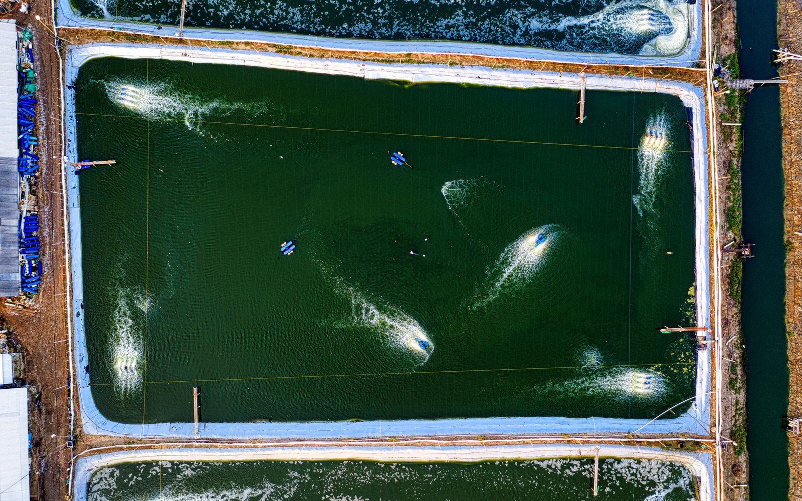
The ground under the ponds is the same ground that underwrites every other claim the Delta makes. Centuries of overbank deposition — annual flooding carrying fine-grained silt from the upstream drainage of the Missouri and Ohio as well as the upper Mississippi — built a soil column of extraordinary depth and uniformity. The US Army Corps of Engineers and the Mississippi River Commission have maintained the levee system that now prevents that annual renewal, but the soil profile it created remains: dark, heavy clay-loam with high water retention, which is precisely what pond levee construction requires. A pond embankment built from Delta clay holds water reliably because the material is already suited to it.
When Belzoni prints its title on a road sign, it is invoking a specific and real set of conditions: a particular soil type, a particular hydrology, a particular agricultural transition, and a particular moment in American food production when farm-raised freshwater fish moved from a regional curiosity to a commodity with a national distribution chain. The claim is measurable and the measurement has been made. Whether the peak acreage of the late 1990s ever returns is a different question, and the honest answer is that most of the indicators run the other way. The title stands on what was built here, in a county whose name most Americans could not place on a map, using a fish that was already swimming in the rivers outside town.
The town of several thousand people and the surrounding county of perhaps ten thousand were always modest in scale, and the catfish industry did not change that.
Read next
A labelling argument that reached Congress
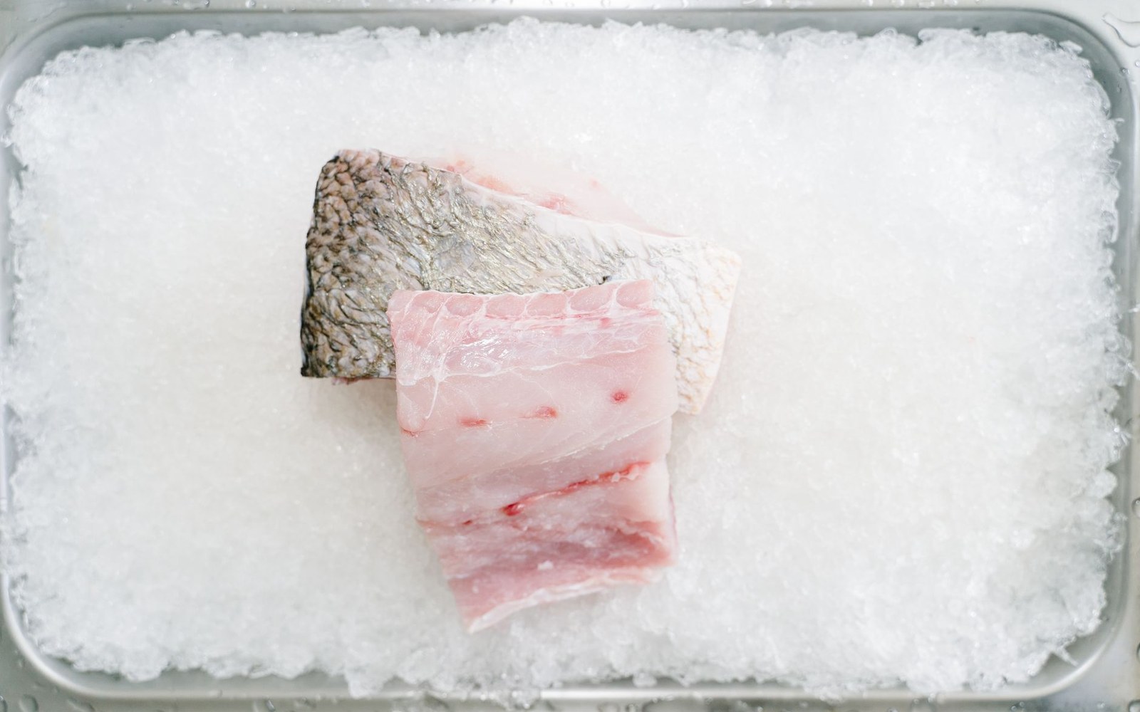
Imported basa and swai were the subject of a long labelling and inspection dispute, which is why the word on the package is regulated.
Ponds & Plants
Who is responsible for the river
The Army Corps of Engineers and the Mississippi River Commission hold the mandate, and their structures define what the Delta can be used for.
The 1927 Water
The other river, and the drainage
The Yazoo drains the eastern side of the plain and the pumping and drainage schemes on it have been contested for decades.
The 1927 Water